Territorial Changes in Tramalleiro, Pontevedra
This visual record documents landscape alterations in the Tramalleiro area of Pontevedra province between 2003 and 2018. The comparative imagery reveals significant modifications to the territorial structure during this fifteen-year period.
The photographic evidence captures the evolution of land use patterns, infrastructure development, and spatial organization within this specific geographic location. These changes reflect broader trends in regional development and territorial planning practices observed throughout the Galician territory.
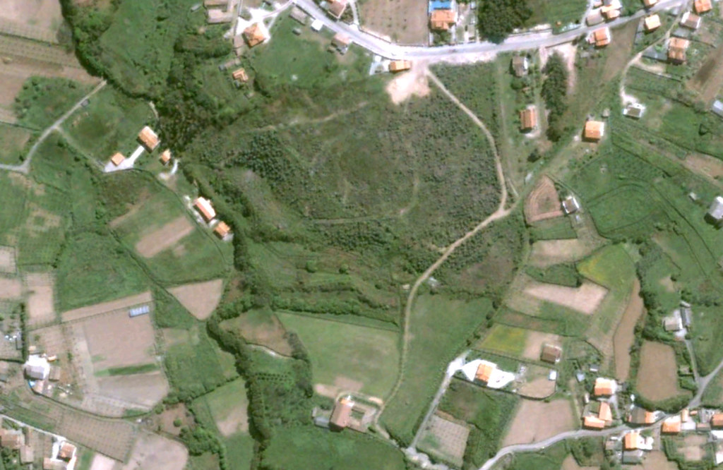
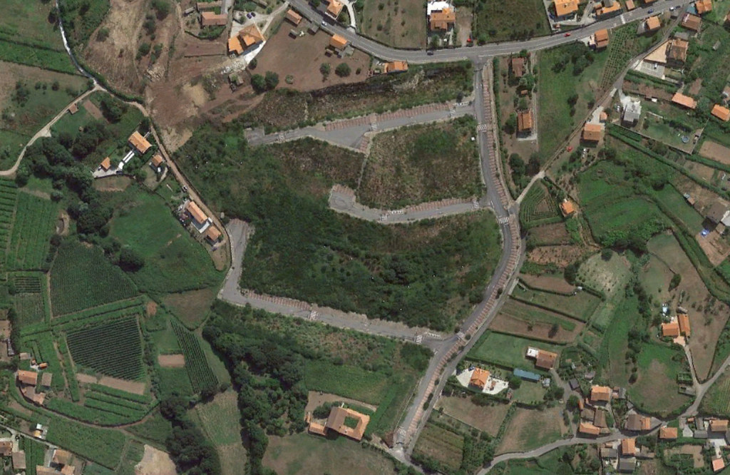
The temporal comparison methodology enables observation of specific developmental trajectories and spatial transformations. These records serve as documentary evidence of how particular territories evolved during the period of extensive urban expansion across multiple Spanish regions.