Les Guilleríes Development, Girona Province
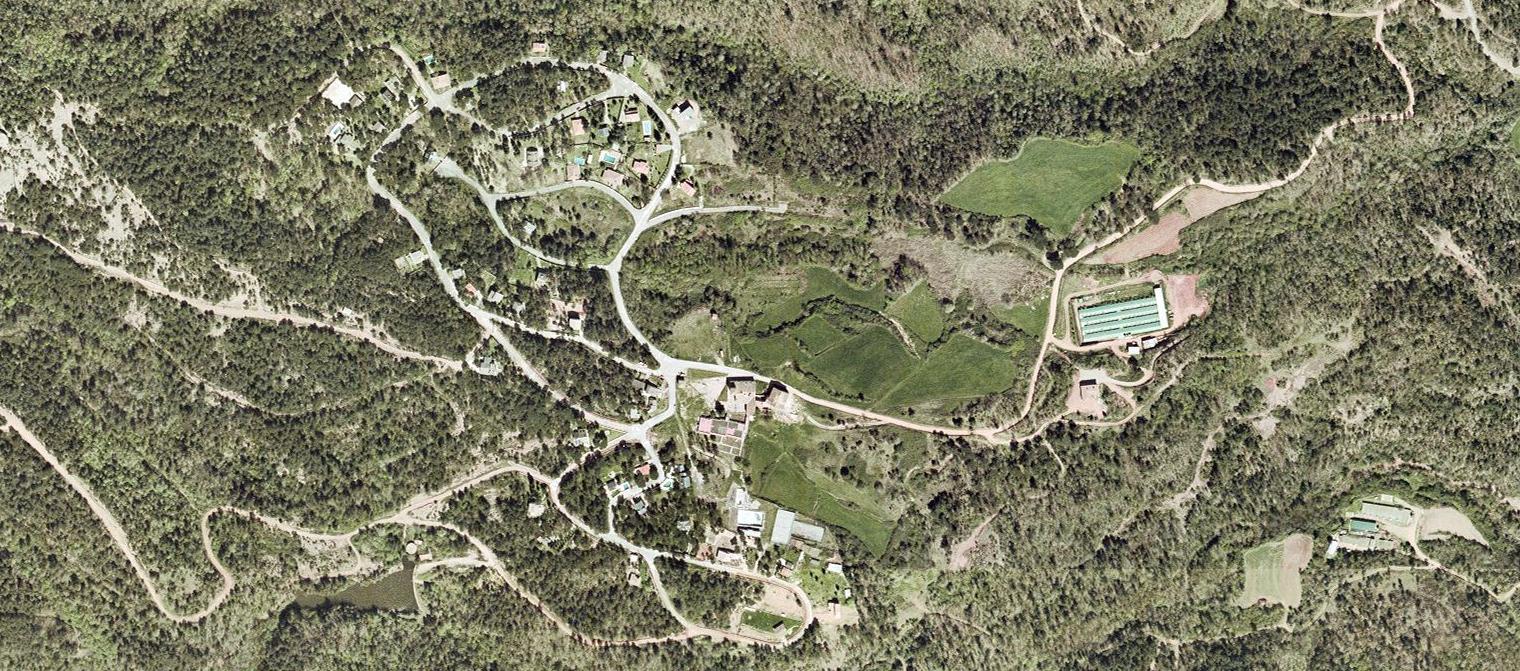
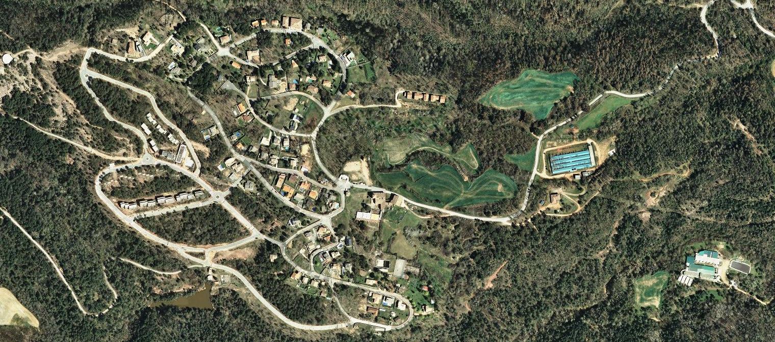
This comparative visual documentation captures the territorial transformation of the Les Guilleríes area in Girona province between 2001 and 2015. The satellite imagery reveals significant changes in land use patterns and infrastructure development over this fourteen-year period.
The photographic evidence demonstrates how previously undeveloped terrain underwent systematic urbanization, with new road networks and residential structures appearing across the landscape. This pattern of development reflects broader trends in Spanish territorial planning during the early 21st century.