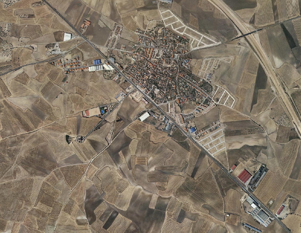
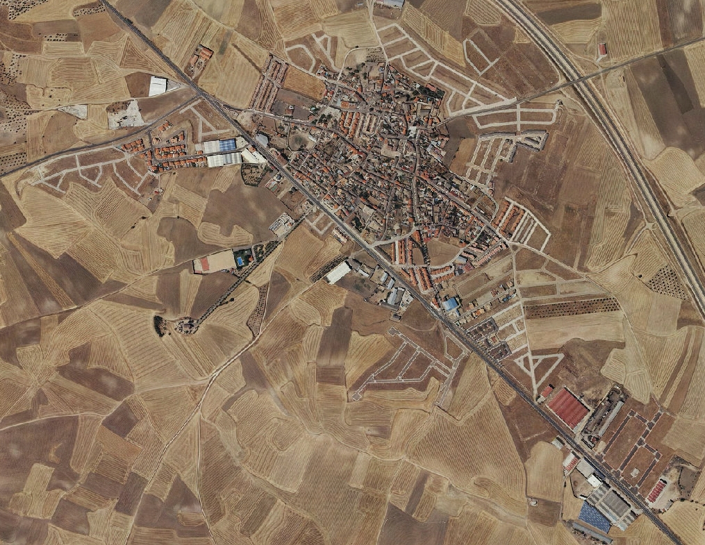
Comparative visual documentation of territorial transformation in Val de Santo Domingo, located within Toledo province. The imagery presents a before-and-after analysis spanning the period from 2006 to 2012, illustrating changes in land use patterns and urban development footprint.