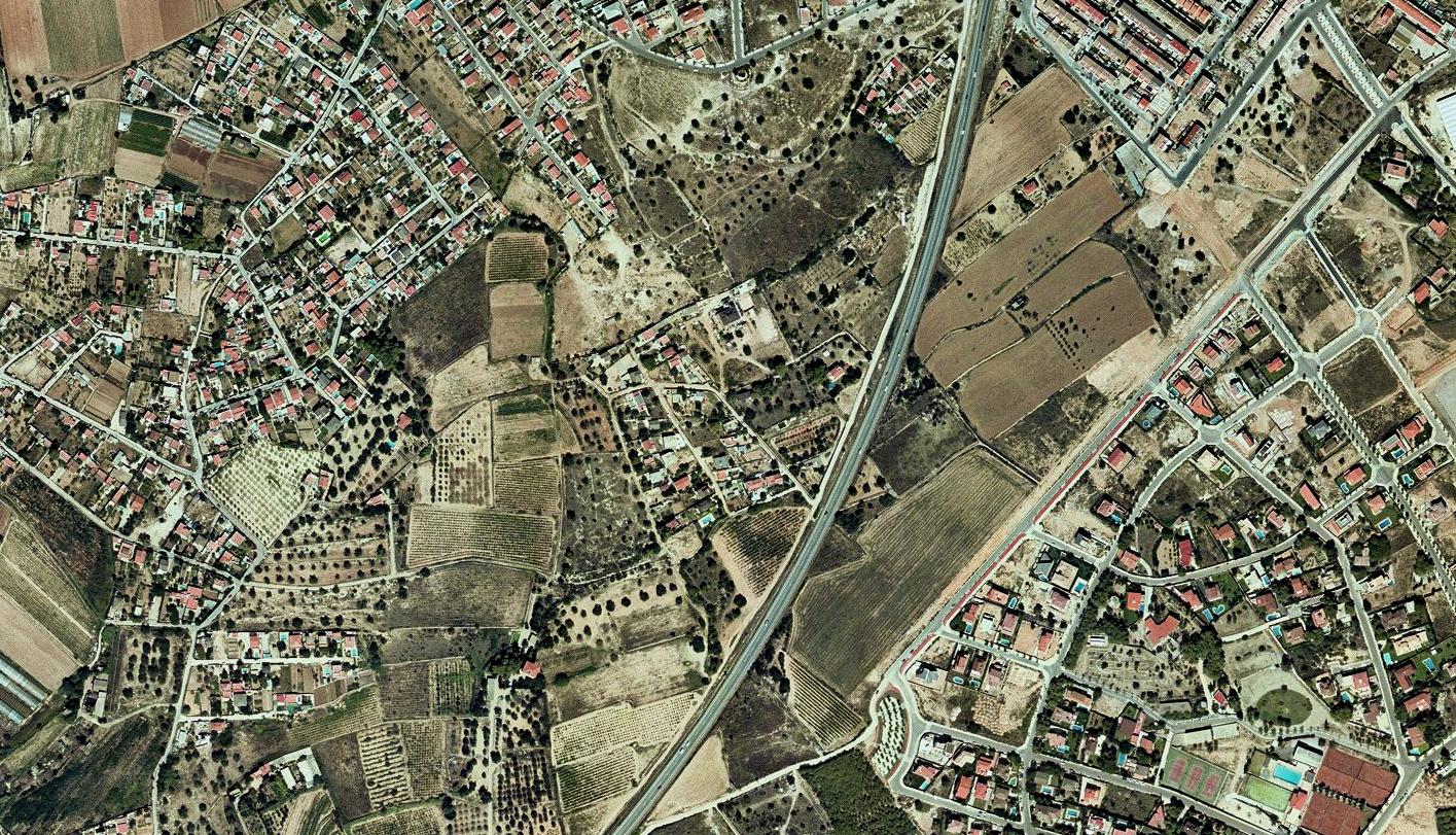
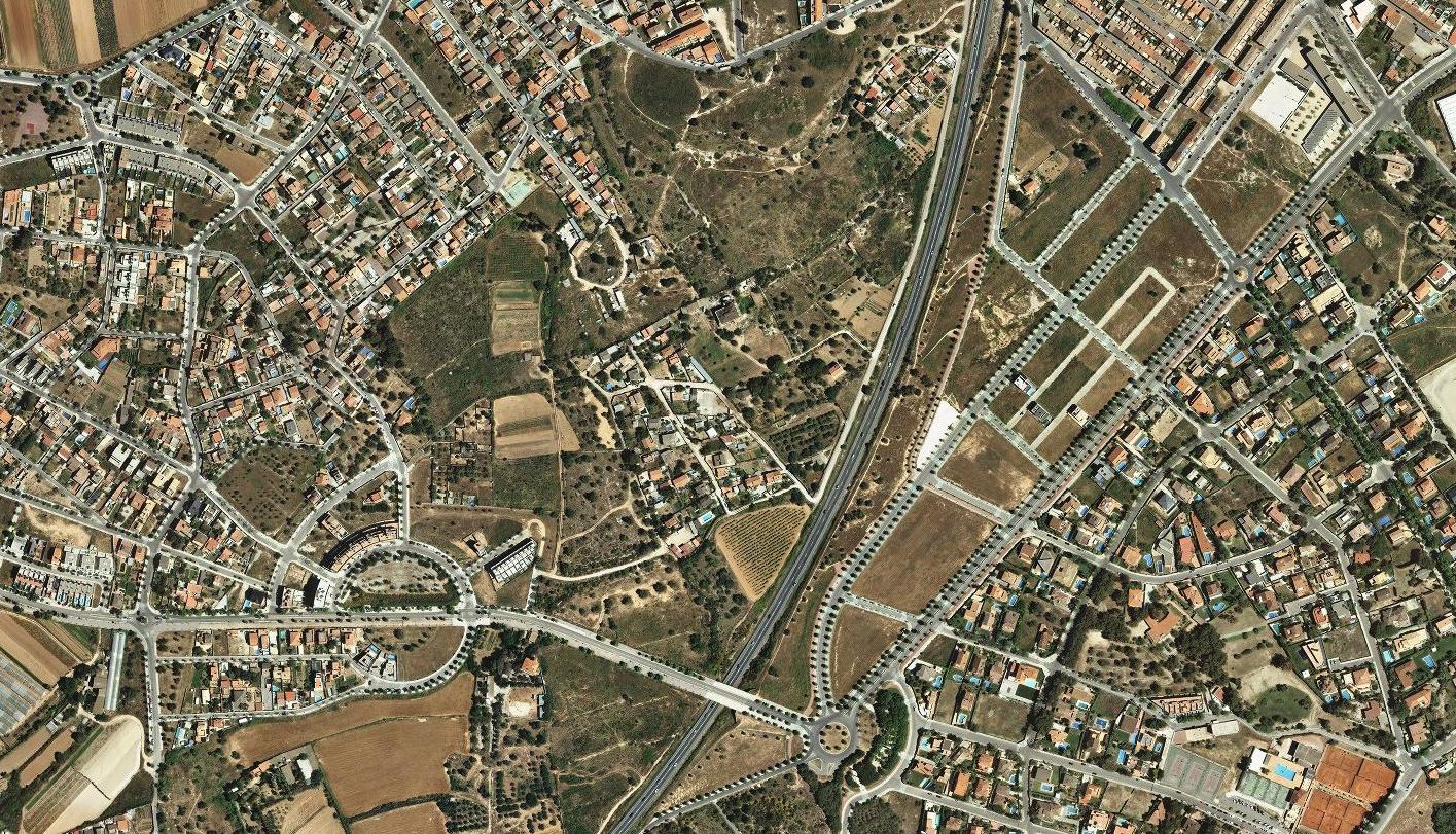
This comparative documentation captures the transformation of territory in Vilanova i la Geltrú between 2000 and 2015. The visual evidence illustrates the conversion of agricultural zones into developed urban fabric, accompanied by the construction of road infrastructure including roundabouts and expanded connectivity networks.
The imagery presents a clear record of land use change during Spain's period of intensive construction activity. What previously comprised open rural landscape evolved into residential and commercial sectors, marking a characteristic pattern of coastal urbanization observed throughout the Barcelona province.