This photographic documentation captures the territorial transformation of Villacanes in Burgos province. The comparative imagery reveals significant landscape modifications occurring over a ten-year period, illustrating patterns of infrastructure development and land-use changes characteristic of early 21st century Spanish provincial expansion.
2005 - Before
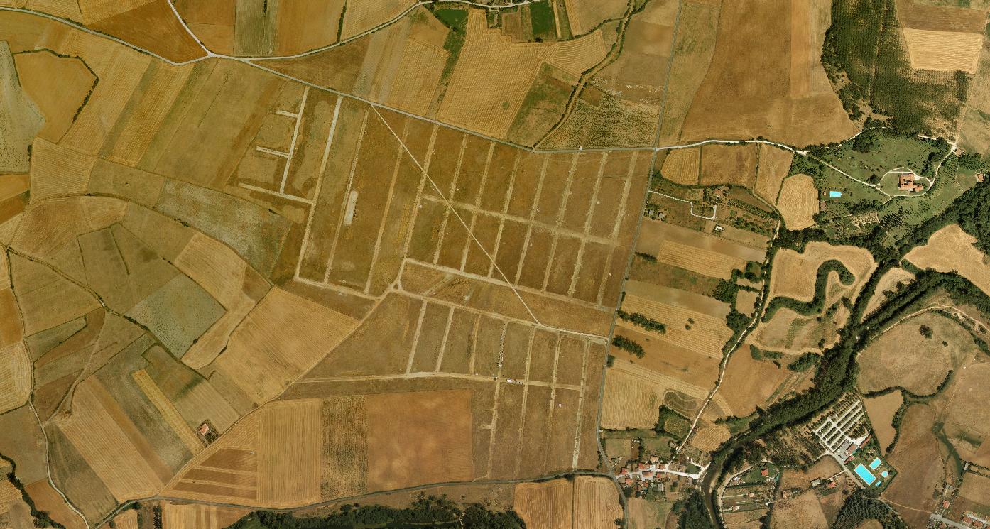
2015 - After
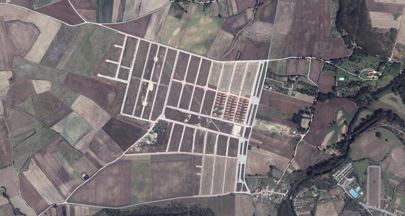
The visual evidence documents the emergence of new road infrastructure, including characteristic traffic circulation elements, alongside modified territorial patterns. These images serve as archival records of spatial reorganization within the provincial landscape during the period examined.