Territorio en Cambio
Viewing entries tagged with Vistabella. Show all entries
July 11, 2013

Vistabella, Alicante

Aerial documentation reveals the territorial transformation in this Mediterranean coastal area. The comparison captures changes in land use patterns, demonstrating how undeveloped agricultural landscapes evolved into residential complexes during the early 21st century development cycle.
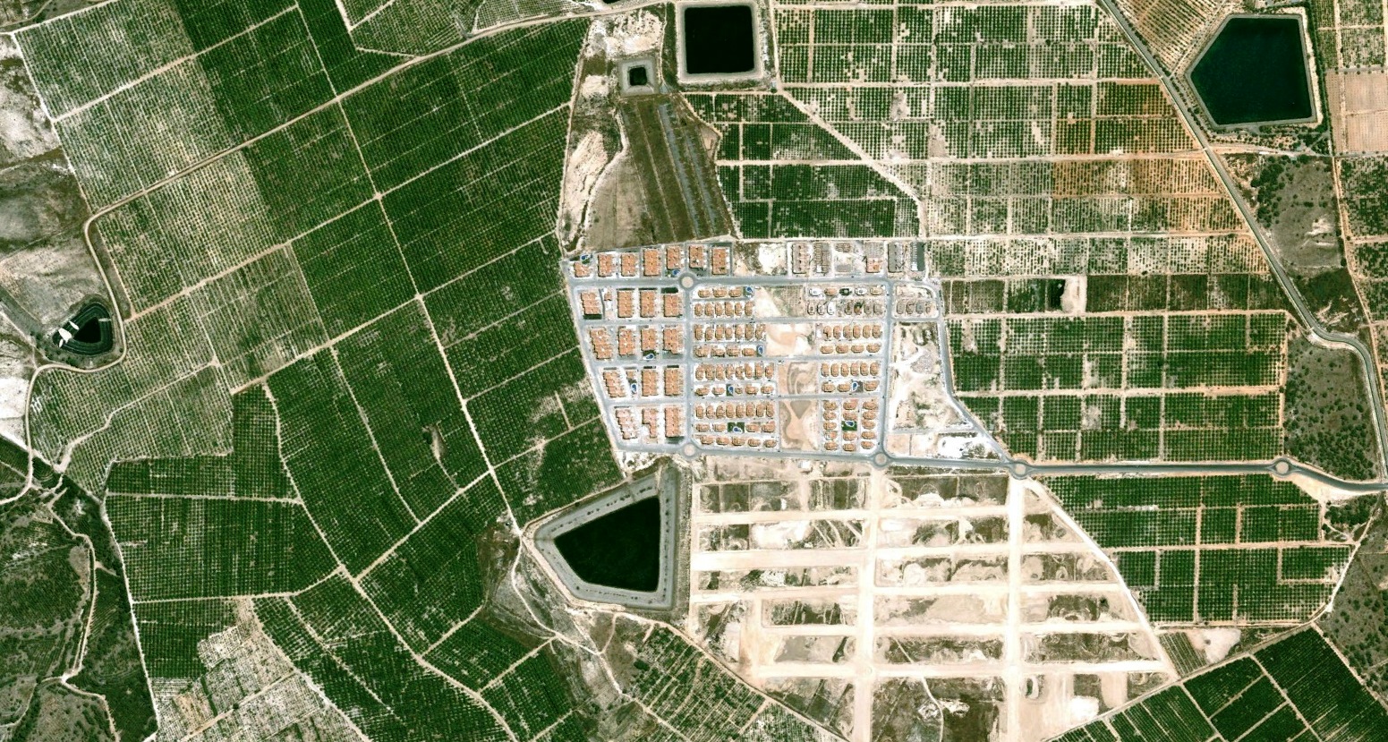
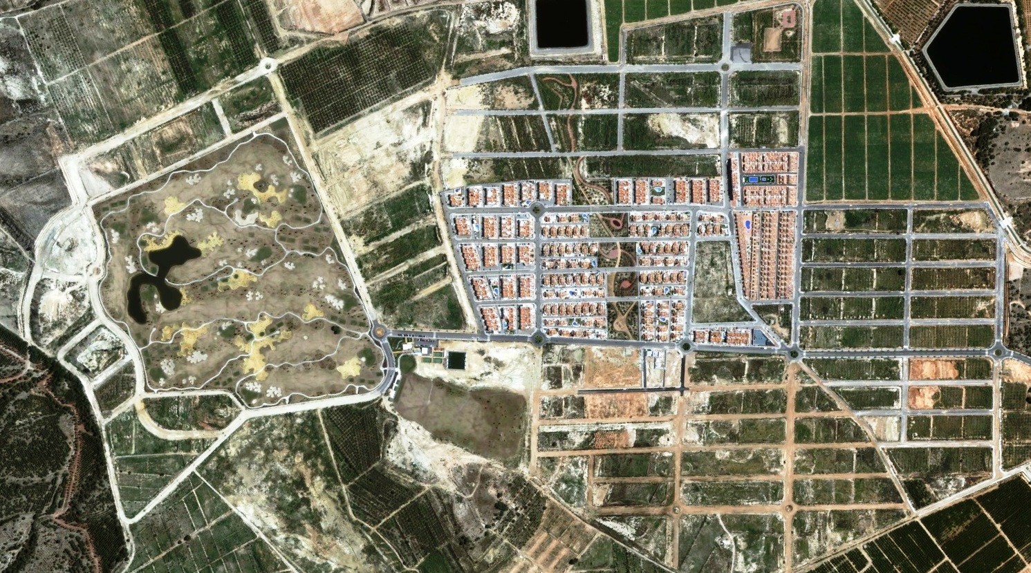
Aerial view showing landscape transformation in Vistabella, Alicante - before development Aerial view showing landscape transformation in Vistabella, Alicante - after development

These overhead perspectives document the conversion of open terrain into built environments, providing visual evidence of spatial reorganization characteristic of Mediterranean urban expansion during Spain's construction boom.

About This Archive

This visual inventory documents territorial modifications across the Spanish landscape over a fifteen-year period. Through comparative aerial photography, the project records how fields, coastlines, and rural areas underwent transformation during the real estate expansion of the 2000s.

The photographic evidence presents a factual record of land use changes, offering an observational perspective on urban development patterns and their impact on the natural and agricultural environment.