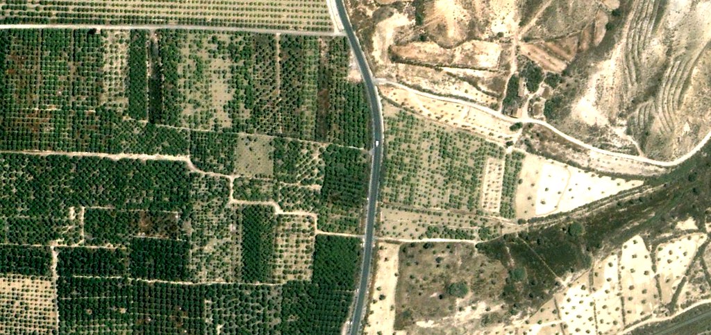
This visual documentation captures the transformation of the Zeneta area in Murcia over an eleven-year period. The comparative imagery reveals significant alterations to the territorial landscape and infrastructure development patterns characteristic of early 21st century Spanish urban expansion.
2001
2012
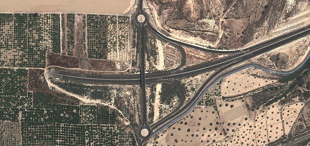
The aerial imagery documents the emergence of road infrastructure networks where agricultural or undeveloped land previously existed. The photographic evidence illustrates the scale of territorial modification undertaken during this period in the Murcia region.