Avenida del Cantón, Cartagena, Murcia
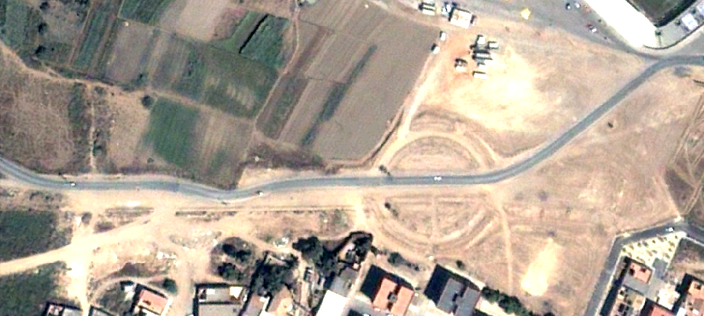
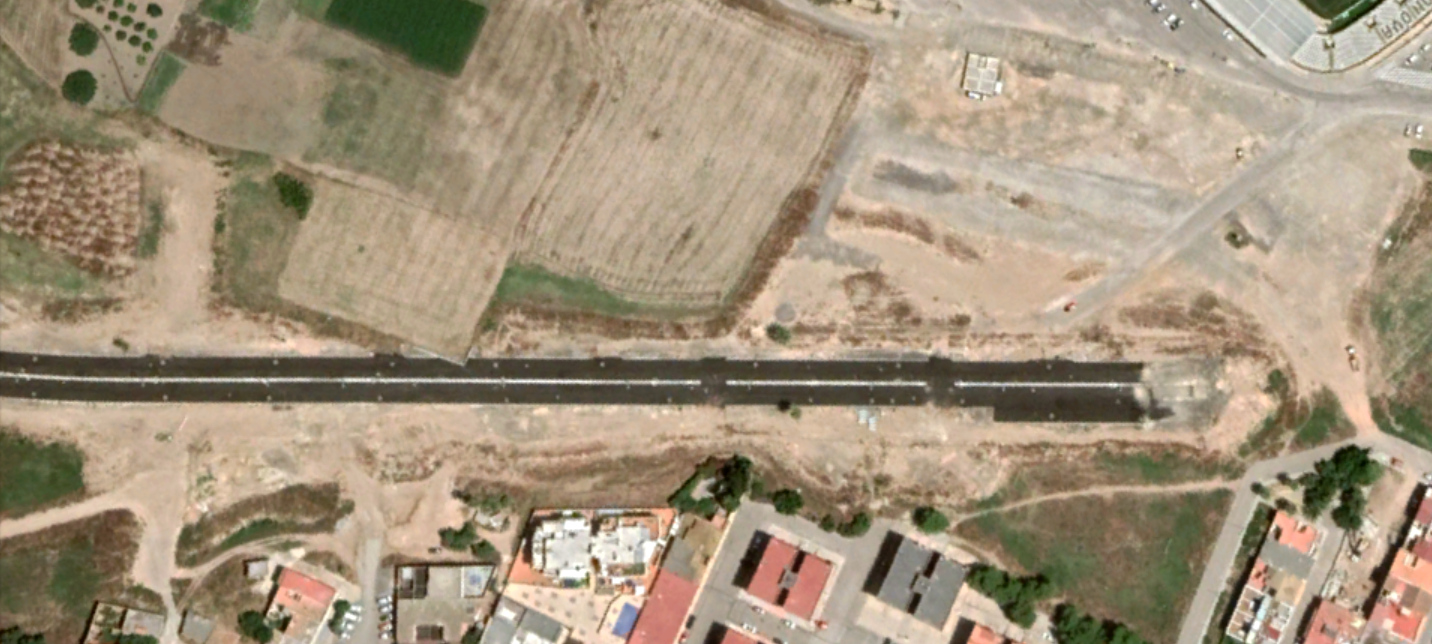
This visual record documents the transformation of the landscape along Avenida del Cantón in the Las Lindes Acho district of Cartagena, Murcia. The comparison presents aerial imagery captured in 2006 and 2020, revealing substantial modifications to the urban fabric and infrastructure development over this fourteen-year interval.
The imagery illustrates the progression of road construction, shifting land use patterns, and the emergence of new built structures characteristic of territorial development in coastal Mediterranean regions during the early twenty-first century.
Location Context
The documented site is positioned within the municipal boundaries of Cartagena in the Region of Murcia, along the southern Mediterranean coastline of the Iberian Peninsula. This corridor represents one of numerous transportation infrastructure projects implemented during the expansion phase of Spanish urban development.