Visual documentation captures the territorial evolution of A Barxa in the municipality of Pontevedra, presenting a comparative analysis of landscape modification over a decade-long interval.
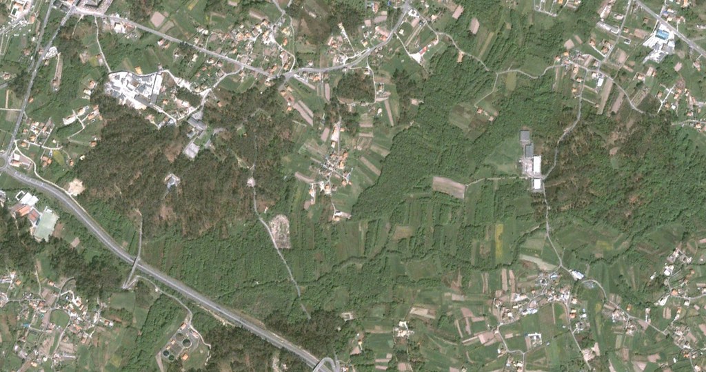
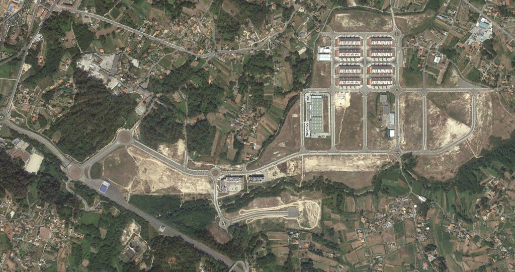
The imagery sequence reveals patterns of infrastructure development and spatial reorganization characteristic of regional growth dynamics during the examined period. Photographic evidence documents the progressive transformation of previously undeveloped terrain through the implementation of roadway networks and associated built environment expansion.