This visual documentation captures the dramatic landscape transformation observed in the Abama area of Tenerife over a thirteen-year period. The comparative imagery reveals significant alterations to the coastal terrain and infrastructure development patterns characteristic of early 21st century territorial expansion.
2000
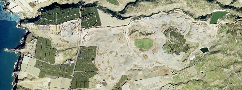
2013
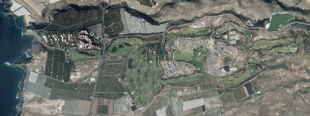
The visual evidence documents the emergence of resort infrastructure, access road networks including multiple roundabouts, and the conversion of previously undeveloped coastal territory into organized urban planning zones. This transformation represents a typical pattern of territorial use change documented across Spanish coastal regions during this timeframe.