November 19, 2014
Don Quijote Airport, Villar del Pozo, Ciudad Real
This comparative documentation illustrates the territorial transformation at the Don Quijote International Airport site near Villar del Pozo in Ciudad Real province. The aerial imagery captures the extensive landscape modifications that occurred between the early 2000s and 2012.
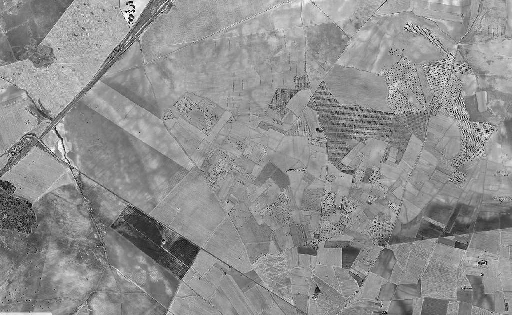 2001
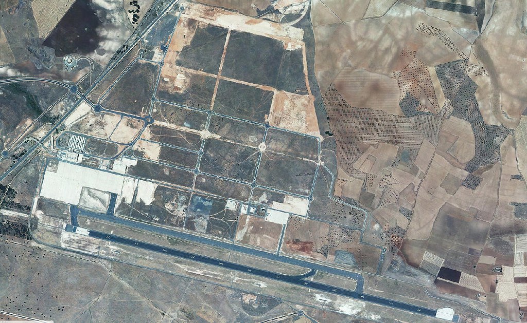 2012
The first image from 2001 documents the pre-development state, showing the rural agricultural character of the location. The second image from 2012 reveals the completed airport infrastructure, including the runway system, terminal facilities, and supporting road networks that emerged during the intervening decade.