Visual evidence documenting territorial transformation near Garray, Soria. The comparative imagery illustrates the development pattern designated for environmental purposes between 2012 and 2020.
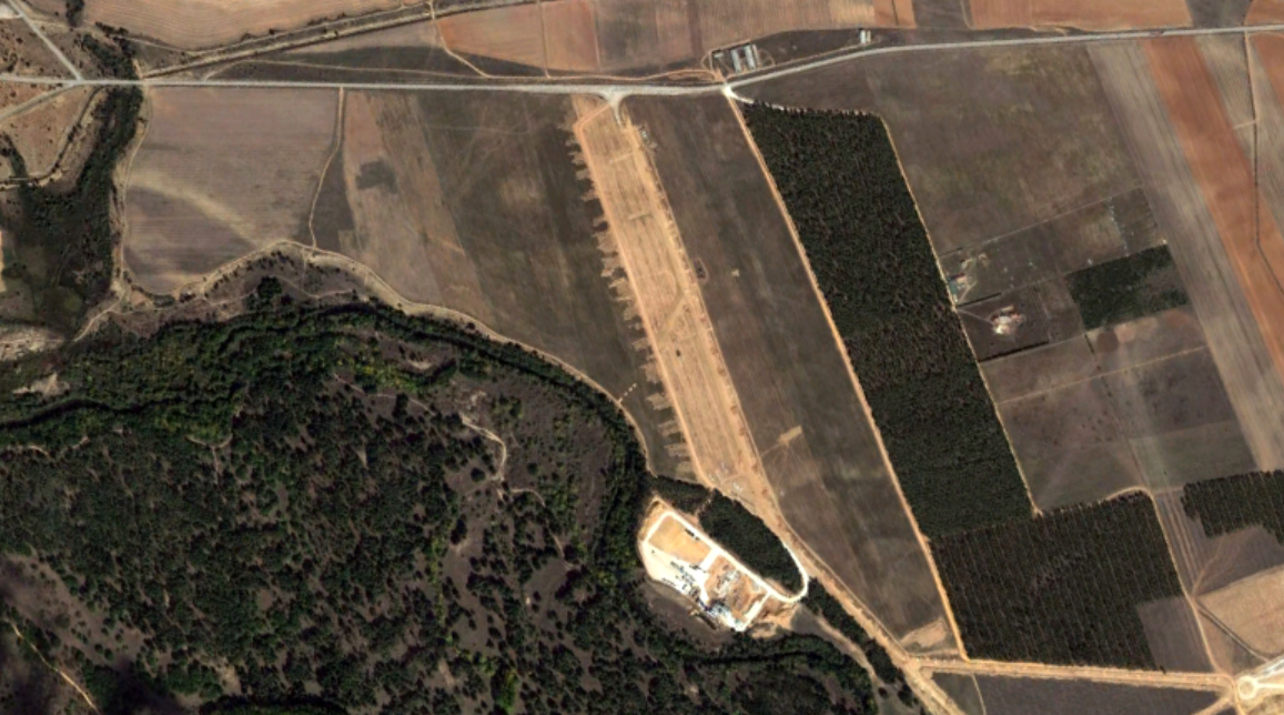
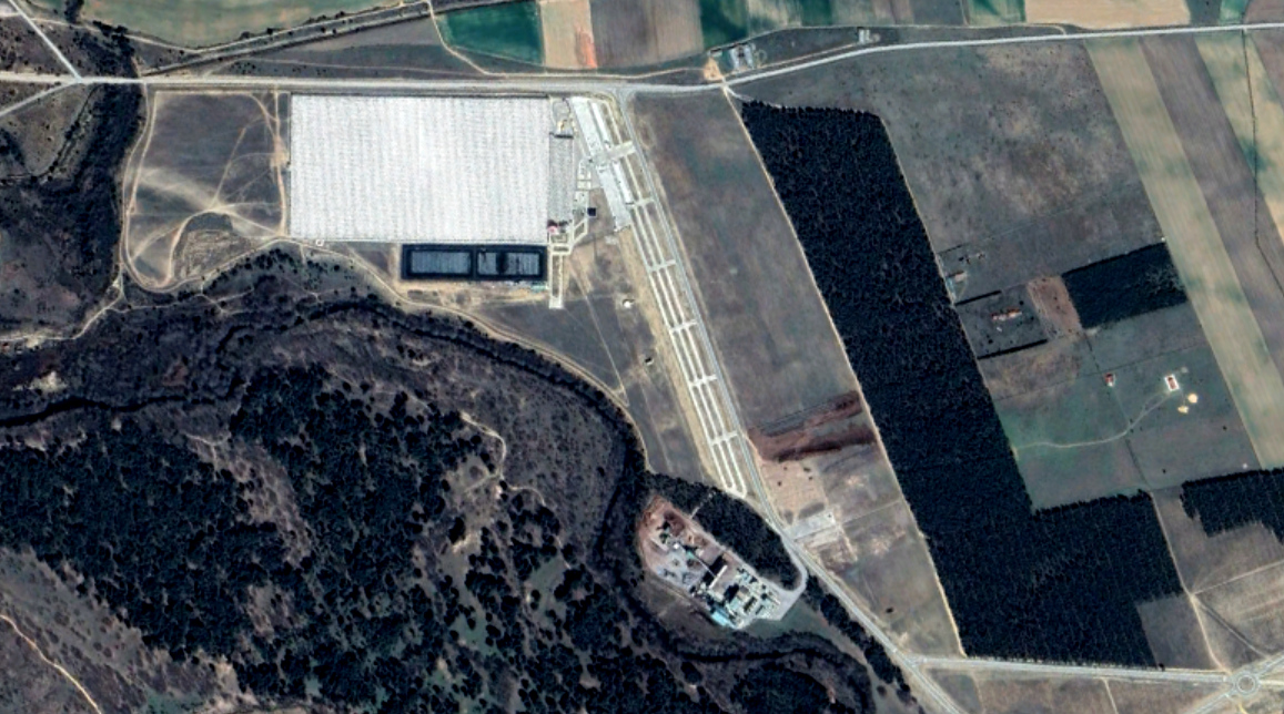
Documentation of landscape transformation patterns in this development zone
Visual evidence documenting territorial transformation near Garray, Soria. The comparative imagery illustrates the development pattern designated for environmental purposes between 2012 and 2020.