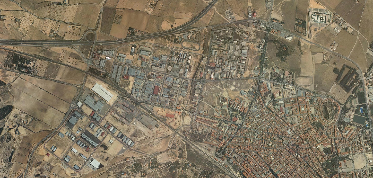
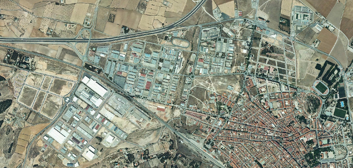
This visual comparison documents territorial change in Almansa, Albacete province, showing the transformation of previously undeveloped land between 2006 and 2012. The aerial imagery reveals the emergence of new infrastructure and development patterns characteristic of Spain's urbanization period during this timeframe.