This visual record documents landscape transformation in Aracena municipality, located in Huelva province. The comparative imagery reveals territorial changes occurring between 2004 and 2009, capturing the expansion of built environment across previously undeveloped land.
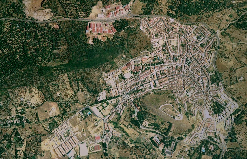
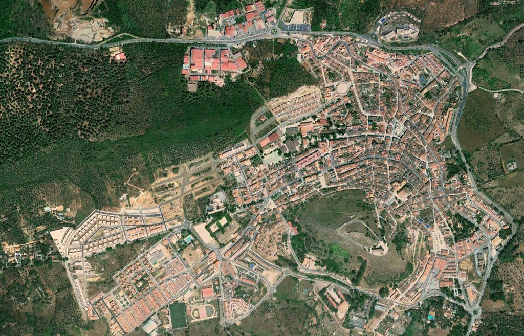
The sequential aerial photographs present evidence of spatial reconfiguration during the mid-2000s development period. Notable alterations include the introduction of transportation infrastructure and residential construction patterns typical of the era's territorial planning approaches.