Visual evidence of landscape transformation in Arroyo de la Luz, Cáceres province. The comparative imagery documents territorial development patterns between 2006 and 2014, revealing the physical manifestation of land use changes during this period.
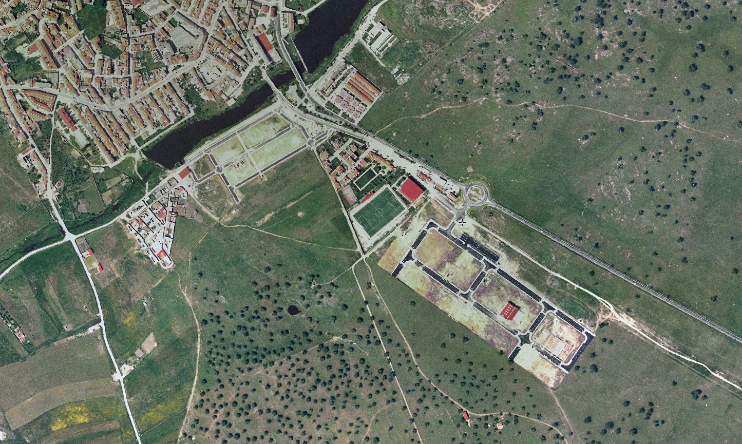
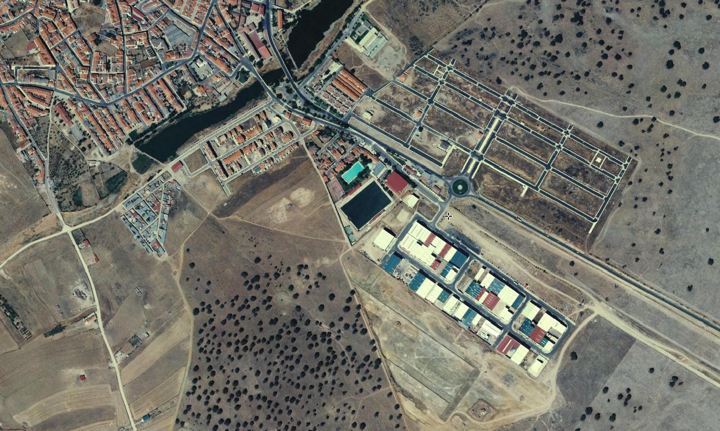
The photographic sequence illustrates the conversion of agricultural or undeveloped land into an industrial zone characterized by roadway infrastructure and circular traffic patterns typical of contemporary Spanish urban expansion.