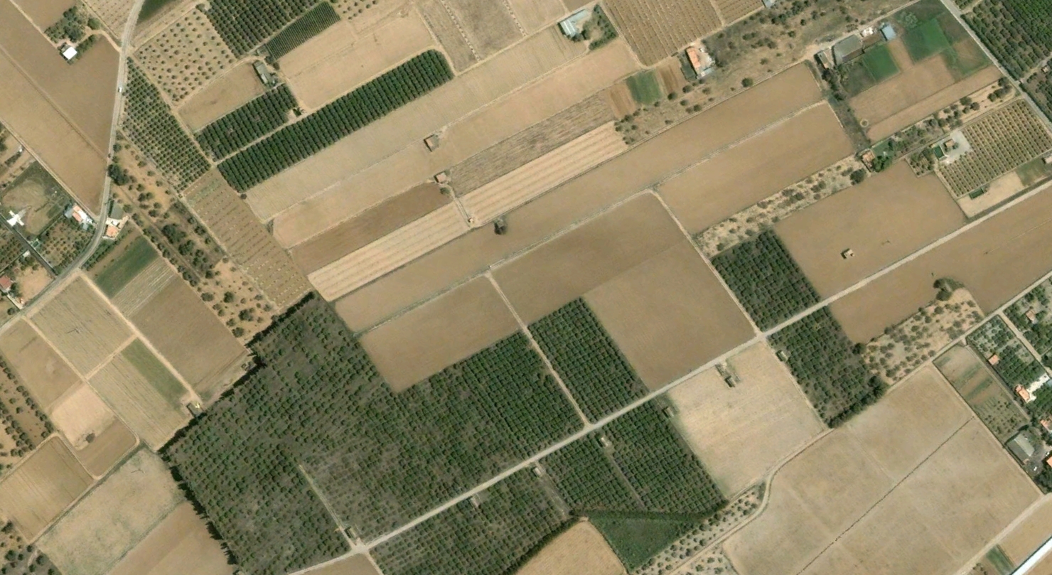
This visual documentation captures the transformation of Benicarló's urban landscape over thirteen years. The coastal municipality in Castellón province experienced notable territorial expansion between the early 2000s and mid-2010s, reflecting broader patterns of Spanish urban development during this period.
2002
2015
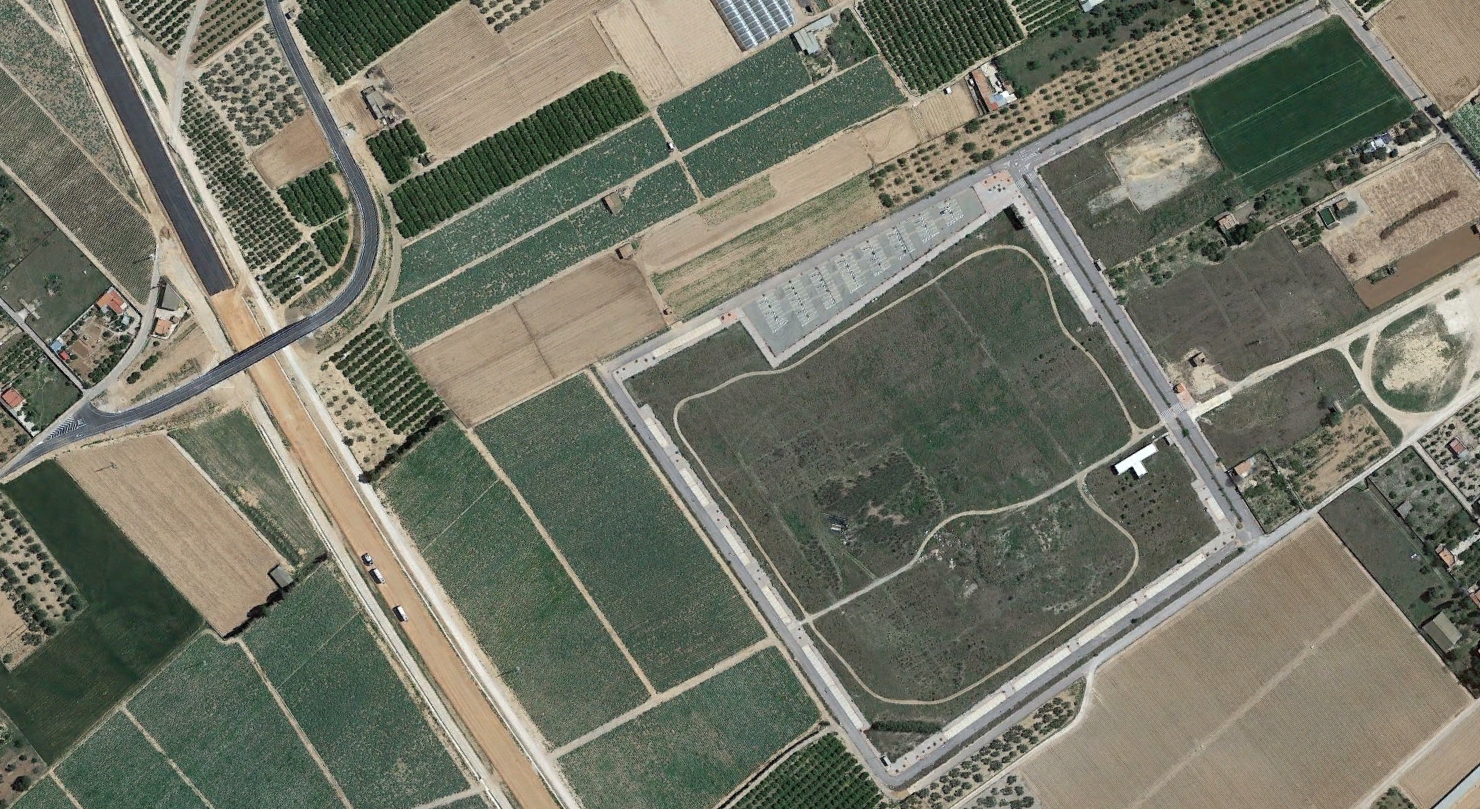
The comparative imagery reveals significant changes in land use patterns, infrastructure development, and the characteristic appearance of new roundabouts that have become a defining feature of Spanish suburban expansion. These visual records document the physical manifestation of planning decisions made during Spain's construction boom.