This comparative visual documentation captures the transformation of Blanes, a municipality in the Girona province, over an eleven-year period. The aerial imagery reveals significant changes in land use patterns and infrastructure development along this Catalan coastal area.
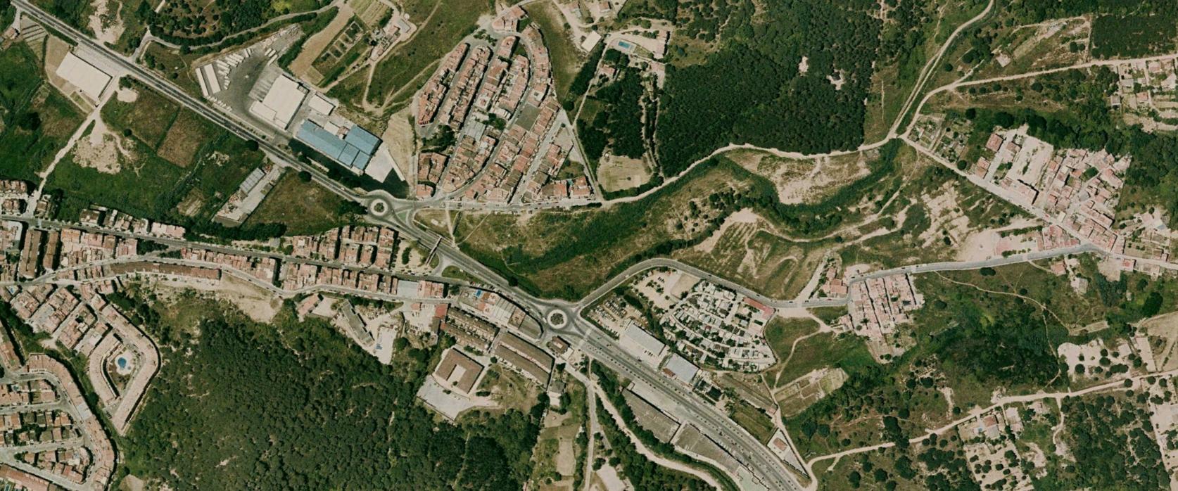
2004 Landscape
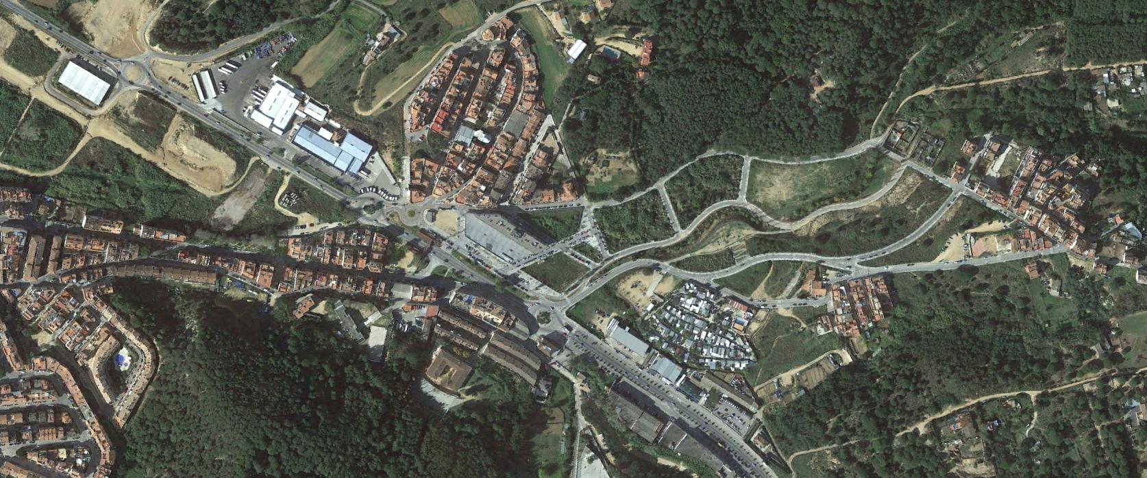
2015 Landscape
The satellite imagery documents modifications to the territorial structure, including alterations to road networks and the emergence of new roundabouts characteristic of modern suburban development patterns. These visual records provide evidence of how Spanish coastal municipalities underwent rapid urbanization during the real estate expansion period.