This visual comparison documents the territorial transformation observed in the municipality of Buenavista del Norte, located in the northwest region of Tenerife island. The imagery captures changes in the landscape and built environment between 2000 and 2013, a period that corresponds with significant development activity across the Canary Islands.
The Compay area, situated within this coastal municipality, exhibits modifications to its land use patterns and infrastructure during the documented timeframe. These changes reflect broader trends in regional planning and urban expansion that characterized this era of development in the archipelago.
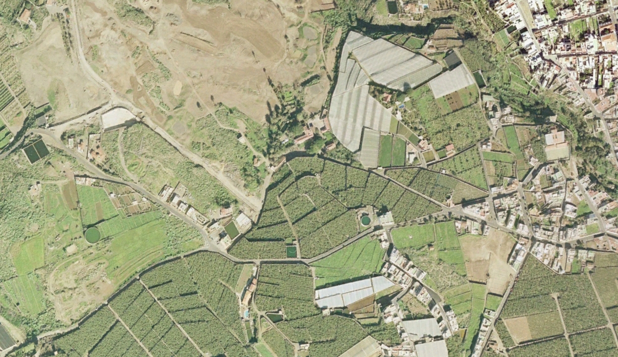
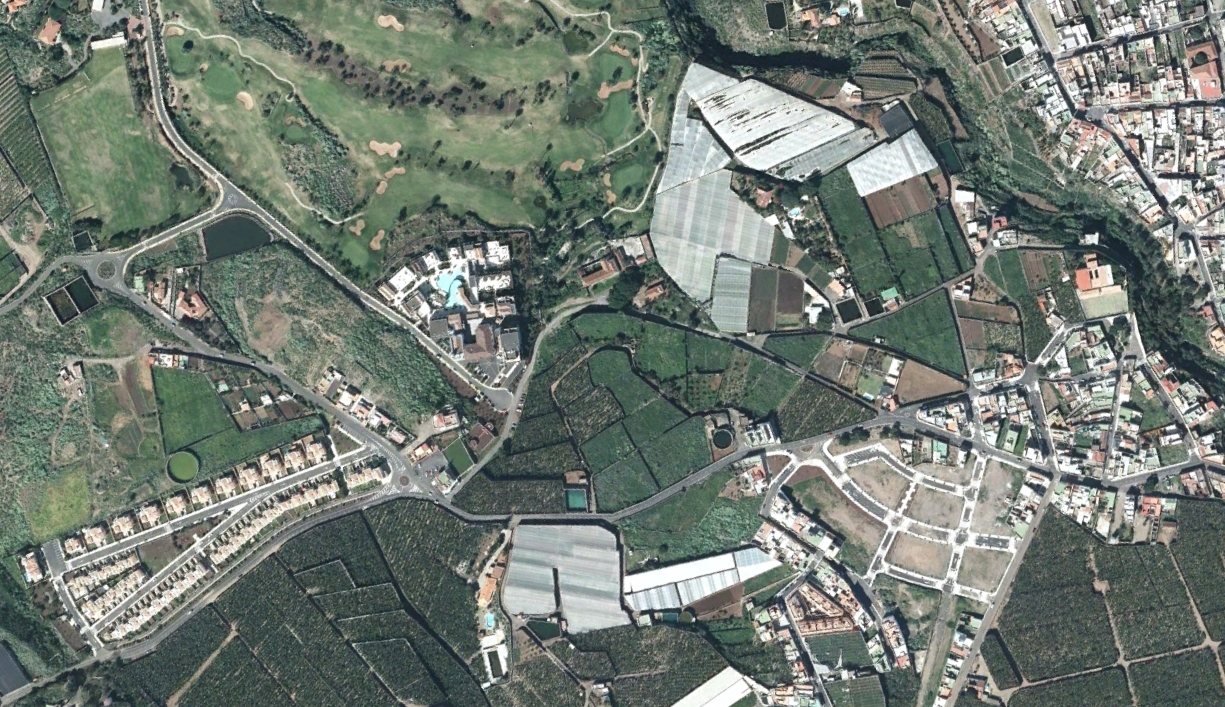
The photographic evidence reveals the conversion of previously undeveloped terrain into constructed spaces, accompanied by the installation of roadway infrastructure including circulation elements typical of modern traffic management systems. This documentation serves as a visual record of landscape evolution in this specific location during the early 21st century.