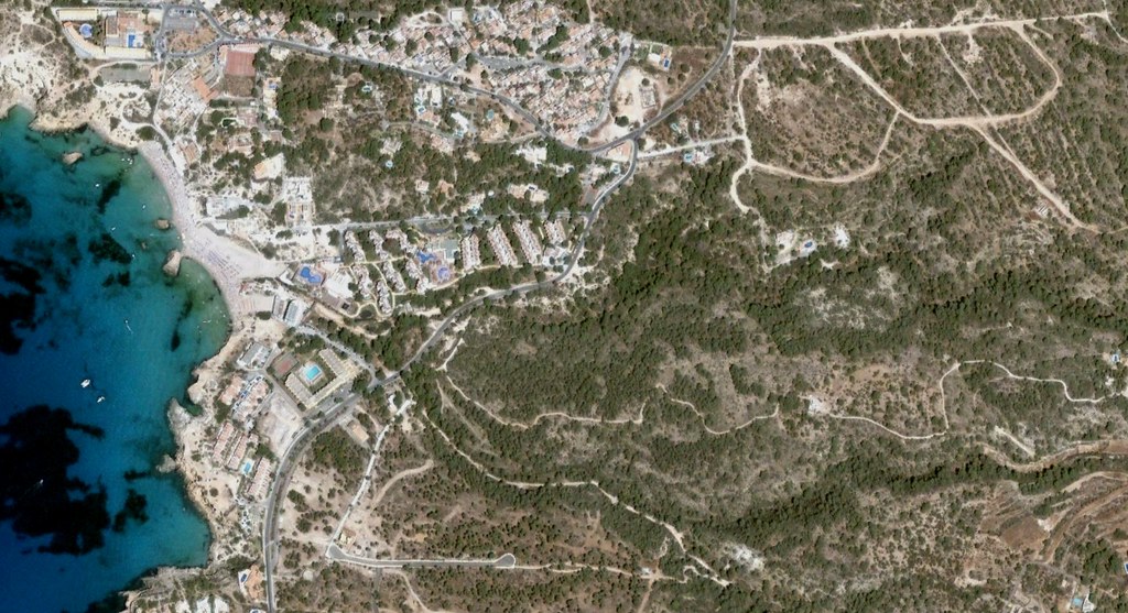
Visual documentation capturing the territorial transformation of Cala Tarida on the island of Ibiza. The comparison presents aerial perspectives from two distinct periods, revealing patterns of coastal development along the Balearic coastline.
2005
2008
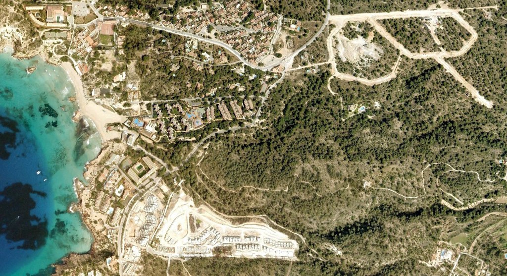
The images illustrate the coastal evolution over a three-year span, documenting the introduction of road infrastructure and built structures into the previously undeveloped terrain of this Mediterranean location.