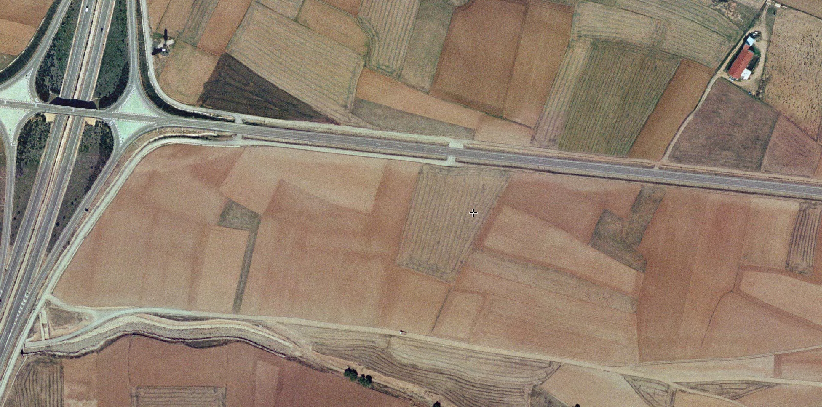
2006
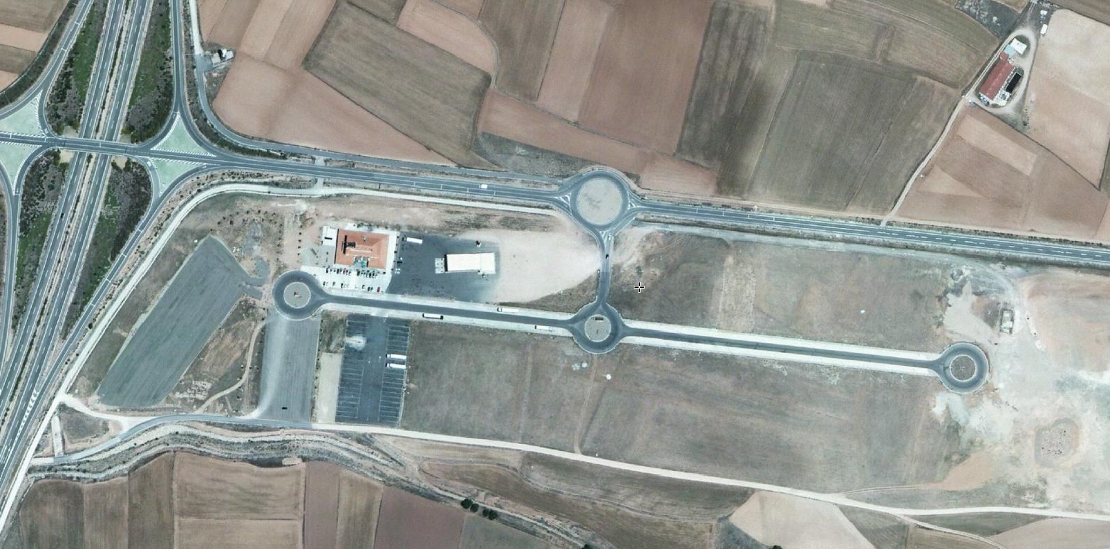
2014
This visual record documents the transformation of Caminreal's landscape over an eight-year period. The comparative imagery reveals the emergence of new infrastructure elements, including traffic circulation systems and modified land use patterns characteristic of early 21st century Spanish territorial development.
The photographic evidence captures the conversion of agricultural terrain into engineered surfaces, a phenomenon observed across numerous municipalities during the period of intensive construction activity between 2000 and 2014.