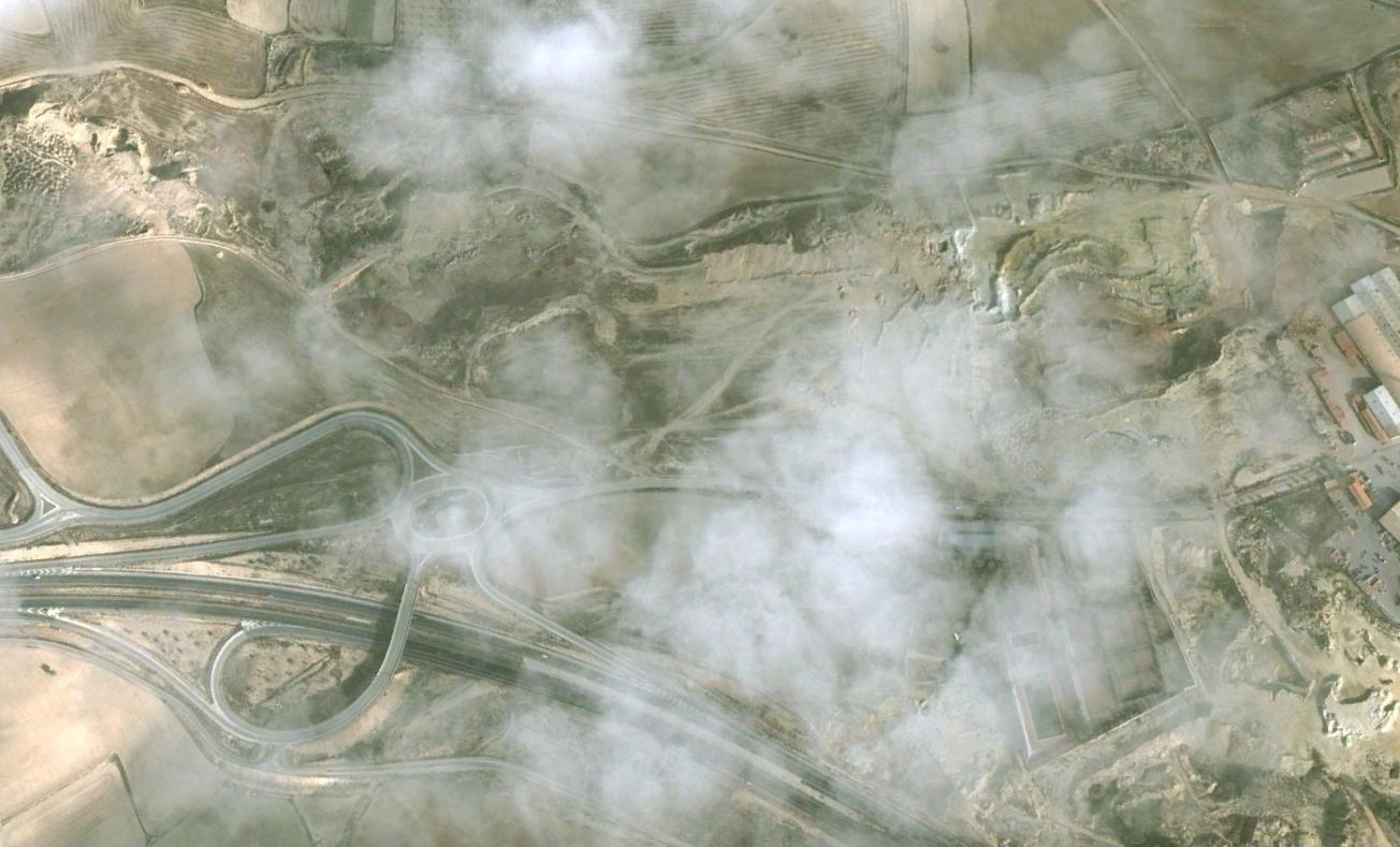
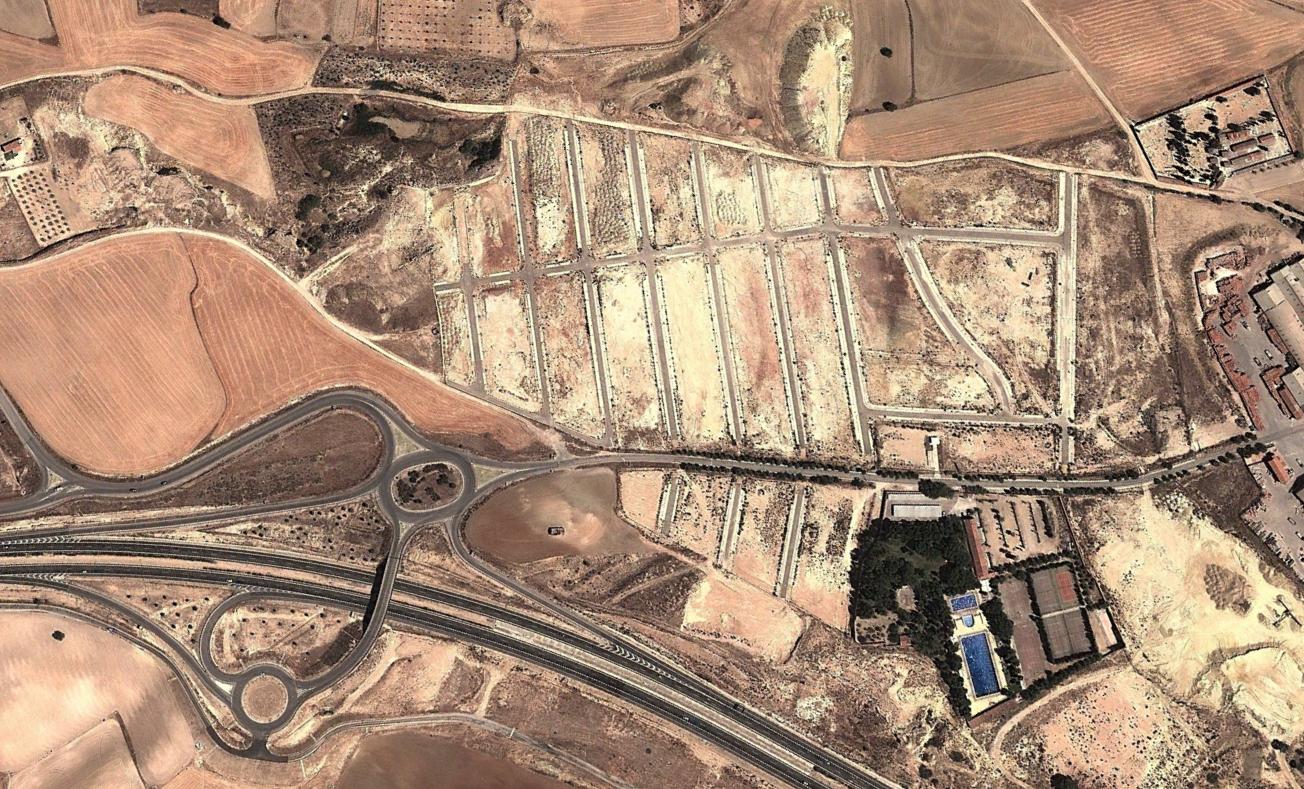
This visual documentation captures the territorial transformation in Chinchilla de Montearagón, located in the province of Albacete. The comparative imagery presents a detailed view of how this landscape has evolved between 2002 and 2013, illustrating the physical changes that occurred during this period.
The documented area reveals patterns of development characteristic of urban expansion in small Spanish municipalities during the early 21st century. The visual record provides evidence of infrastructure development and land use modifications that took place over this eleven-year timeframe.