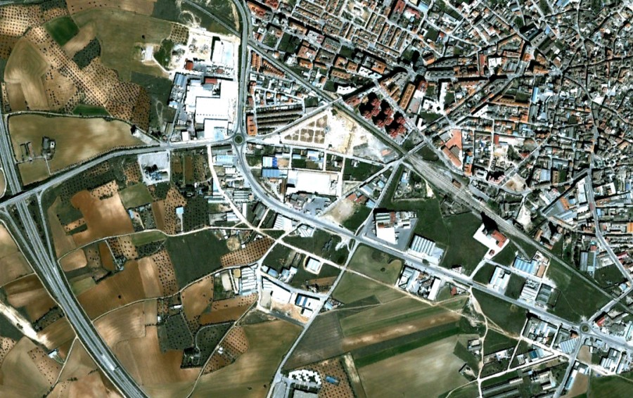
Visual documentation captures the transformation of Nohales, a locality in Cuenca province, between 2002 and 2015. The comparative imagery reveals significant alterations to the landscape during this thirteen-year period, illustrating patterns of territorial development characteristic of the region.
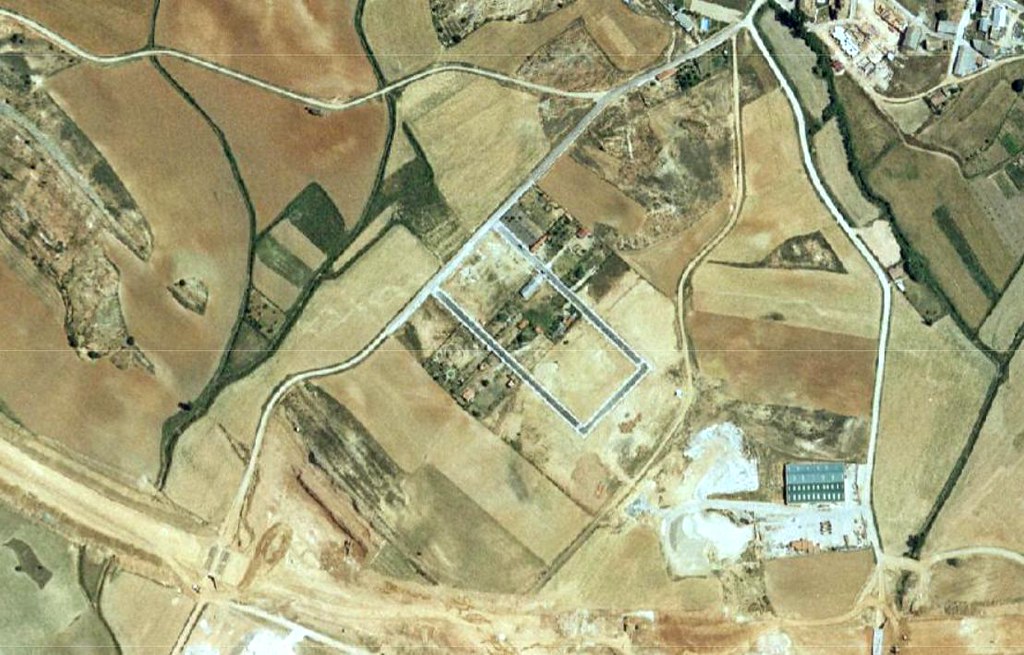
Photographic evidence from Sisante municipality documents landscape modifications occurring between 2006 and 2016. The visual record demonstrates the evolving character of this Cuenca location over a decade, providing insight into land use patterns and infrastructural development.
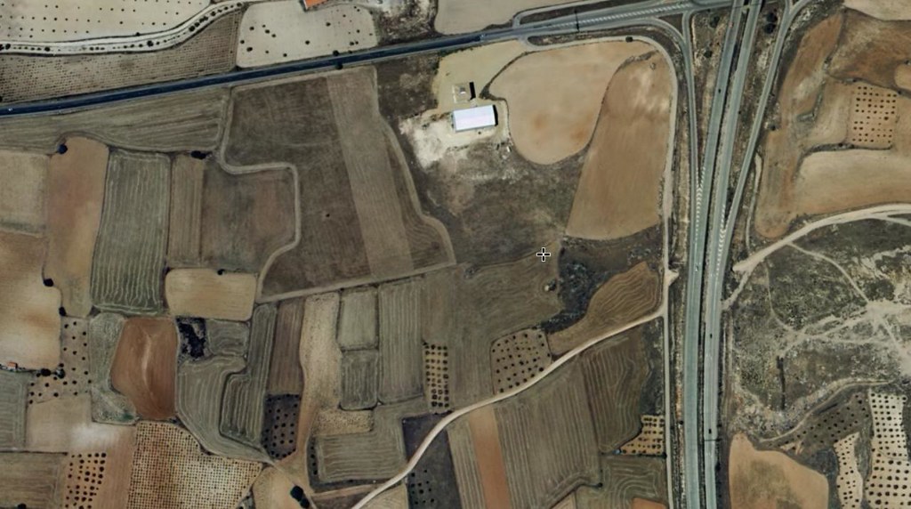
The visual archive documents Horcajo de Santiago through comparative imagery spanning 2006 to 2015. These records capture the territorial evolution of this Cuenca municipality, revealing changes in the built environment and surrounding landscape over nearly a decade.
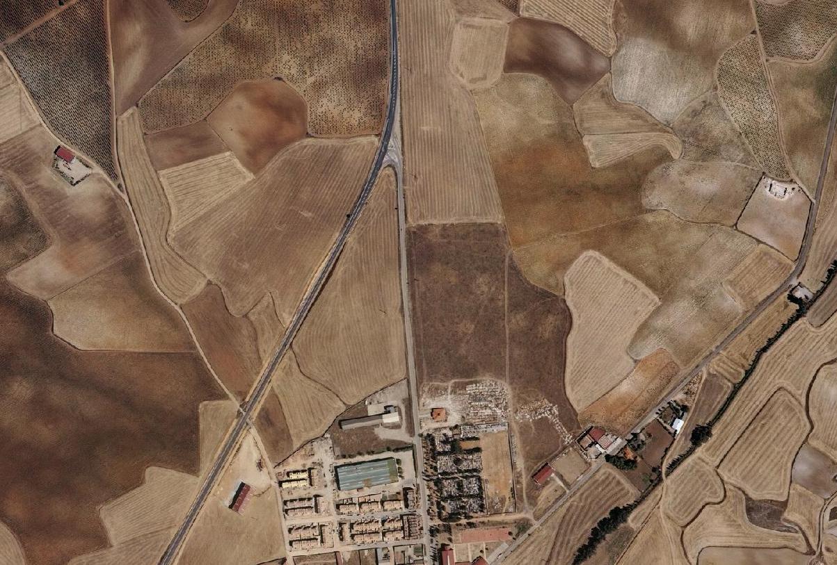
Observational records from Olmedilla de Alarcón present landscape conditions at two distinct moments: 2006 and 2014. The documentation illustrates the territorial transformation of this Cuenca area, offering visual evidence of environmental and infrastructural changes during this eight-year interval.
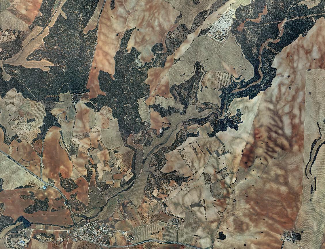
Comparative visual documentation of Minglanilla chronicles modifications to the landscape between 2006 and 2016. The photographic evidence reveals the decade-long transformation of this Cuenca municipality, depicting alterations in land use and spatial organization.
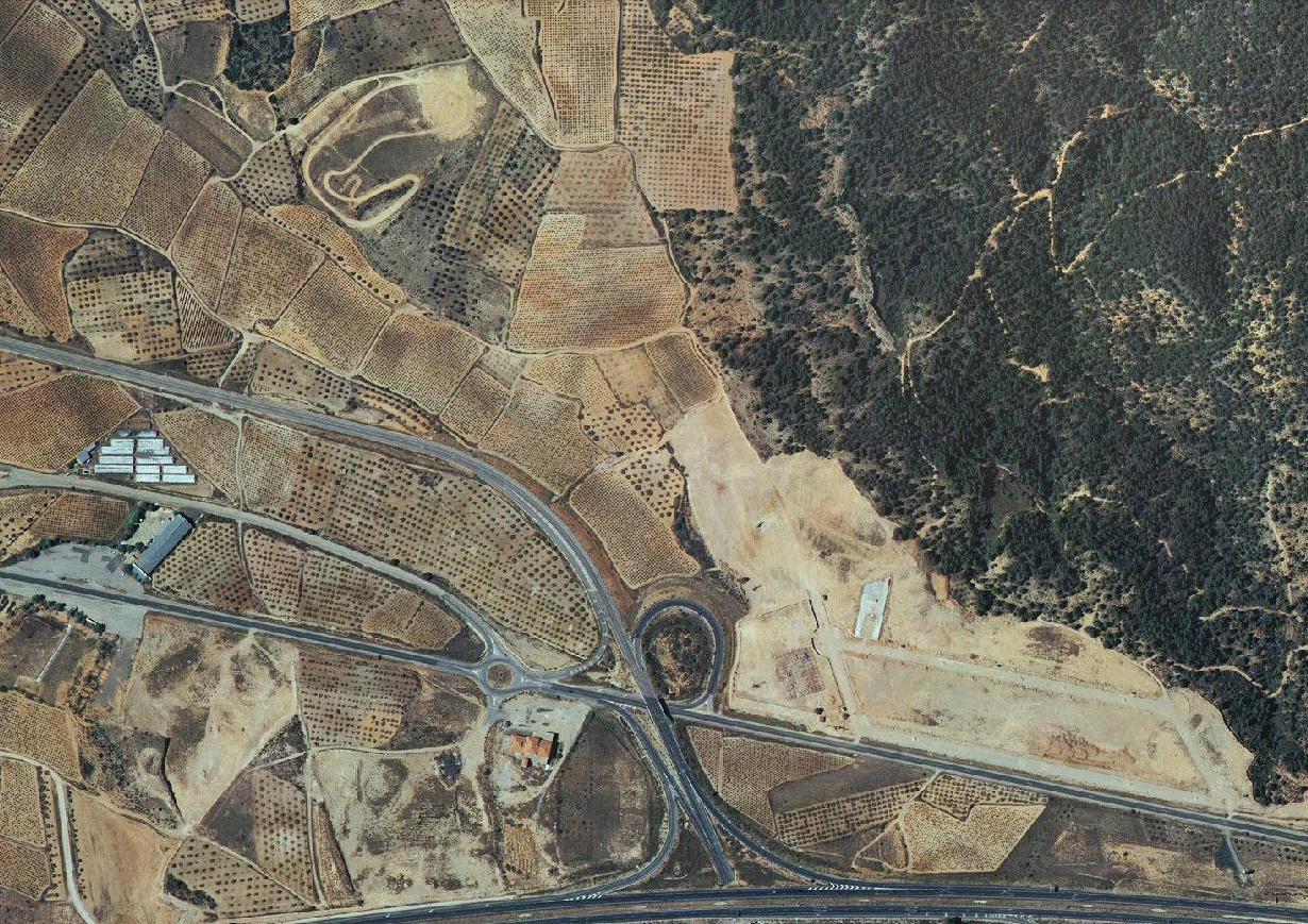
The eastern sector of Cuenca city is examined through imagery captured in 2002 and 2012. This visual documentation provides a ten-year perspective on territorial changes in this urban area, illustrating patterns of development and landscape modification.
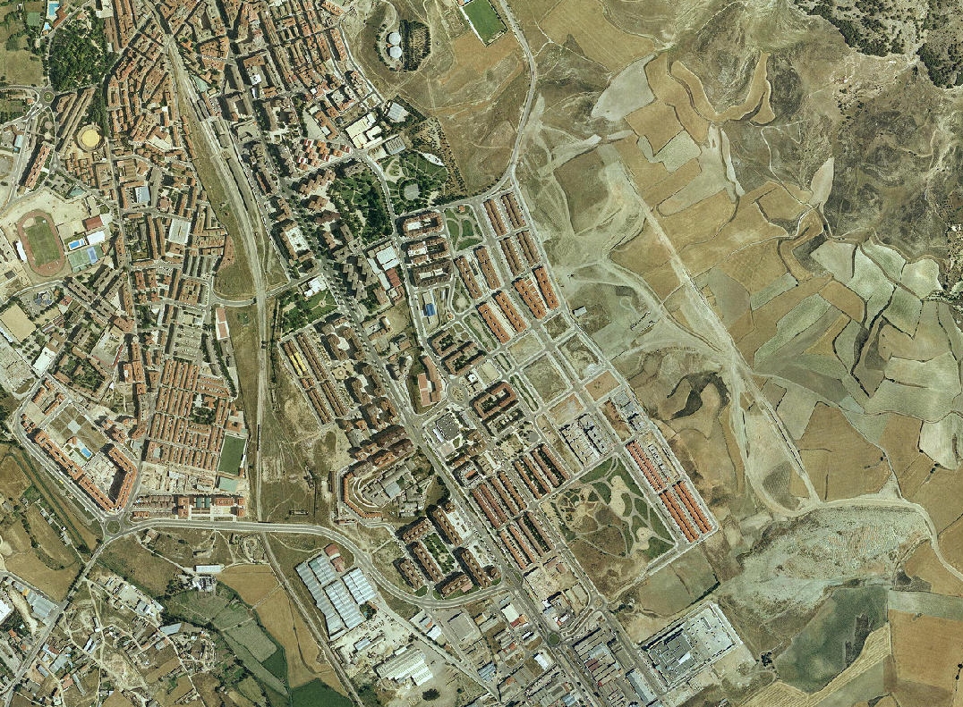
Visual records document Villar de Olalla across a decade, from 2002 to 2012. The comparative imagery captures the evolution of this Cuenca locality, demonstrating transformations in the territorial landscape over this period.
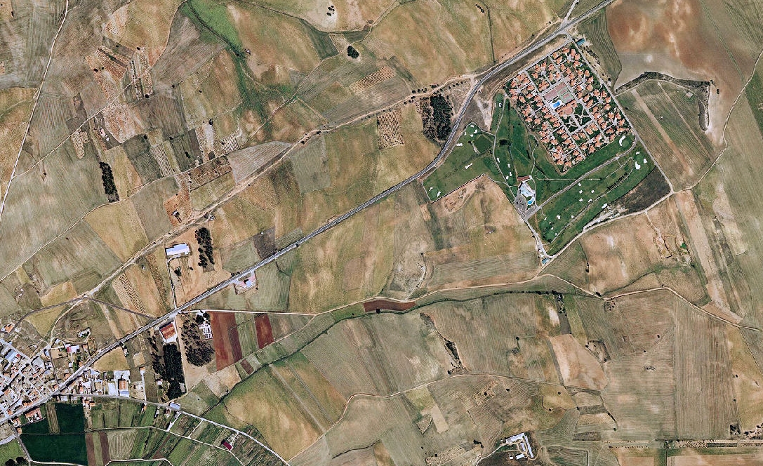
Photographic evidence from Montalbo presents landscape conditions observed in 2002 and again in 2012. The documentation reveals the territorial changes experienced by this Cuenca area during the intervening decade.
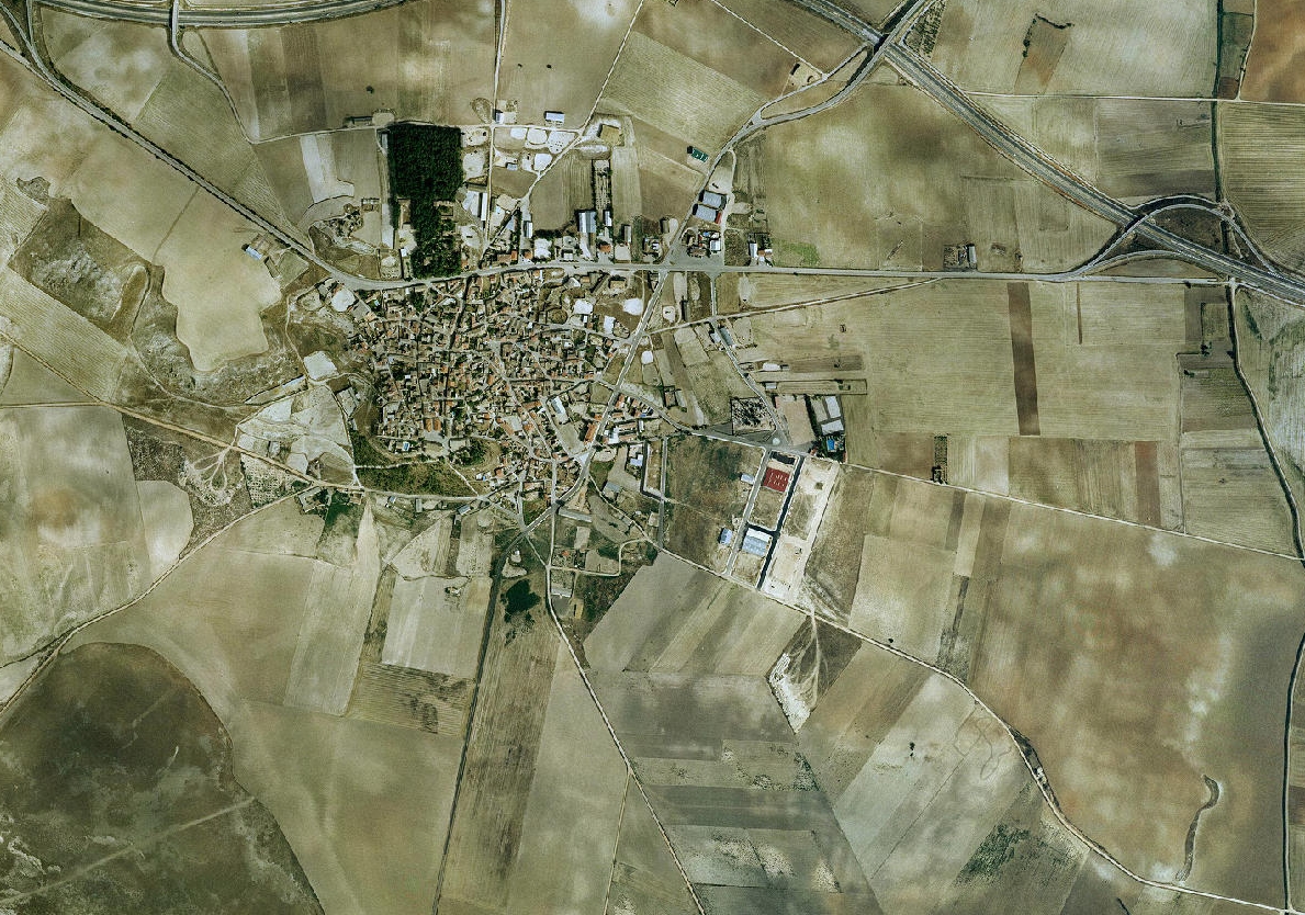
The visual archive documents Arcas municipality through comparative imagery from 2002 and 2012. These records illustrate the landscape transformation of this Cuenca location across a ten-year timeframe, capturing patterns of territorial development.
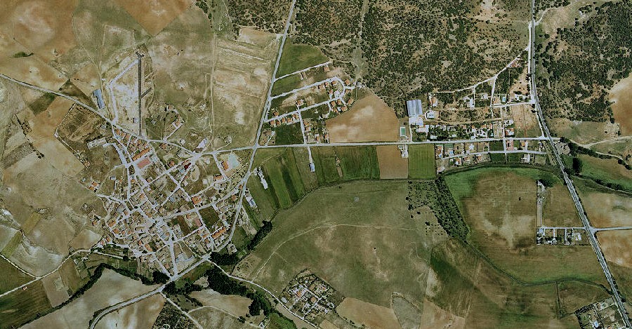
Observational records present La Alberca de Záncara through imagery from 2006 and 2012. The visual documentation demonstrates the evolution of this Cuenca municipality over six years, revealing modifications to the landscape and spatial characteristics.
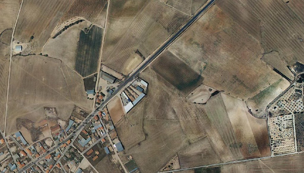
The southern area of Tarancón is examined through photographic records spanning 2006 to 2012. This visual documentation captures the territorial changes in this Cuenca locality during a six-year period, illustrating patterns of landscape transformation.
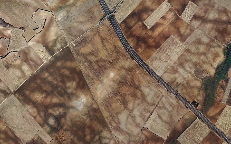
Visual evidence documents the western sector of Cuenca city between 2002 and 2012. The comparative imagery provides a decade-long perspective on urban and territorial development in this area, revealing significant landscape modifications.
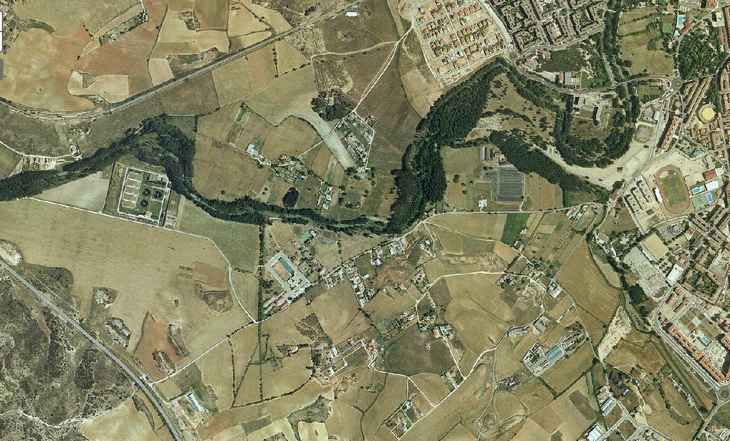
Documentation of Cuenca's high-speed rail infrastructure presents imagery from 2005 and 2011. The visual records illustrate the territorial impact of this major transportation project, capturing the landscape before and after the railway's establishment.
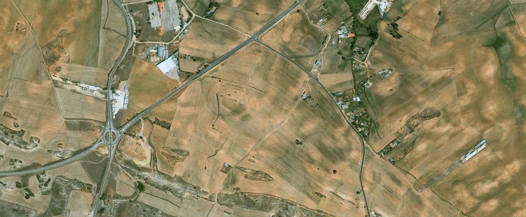
Photographic evidence from Tarancón municipality documents landscape conditions observed in 2003 and 2012. The comparative imagery reveals the transformation of this Cuenca location across nearly a decade, illustrating patterns of territorial development and change.