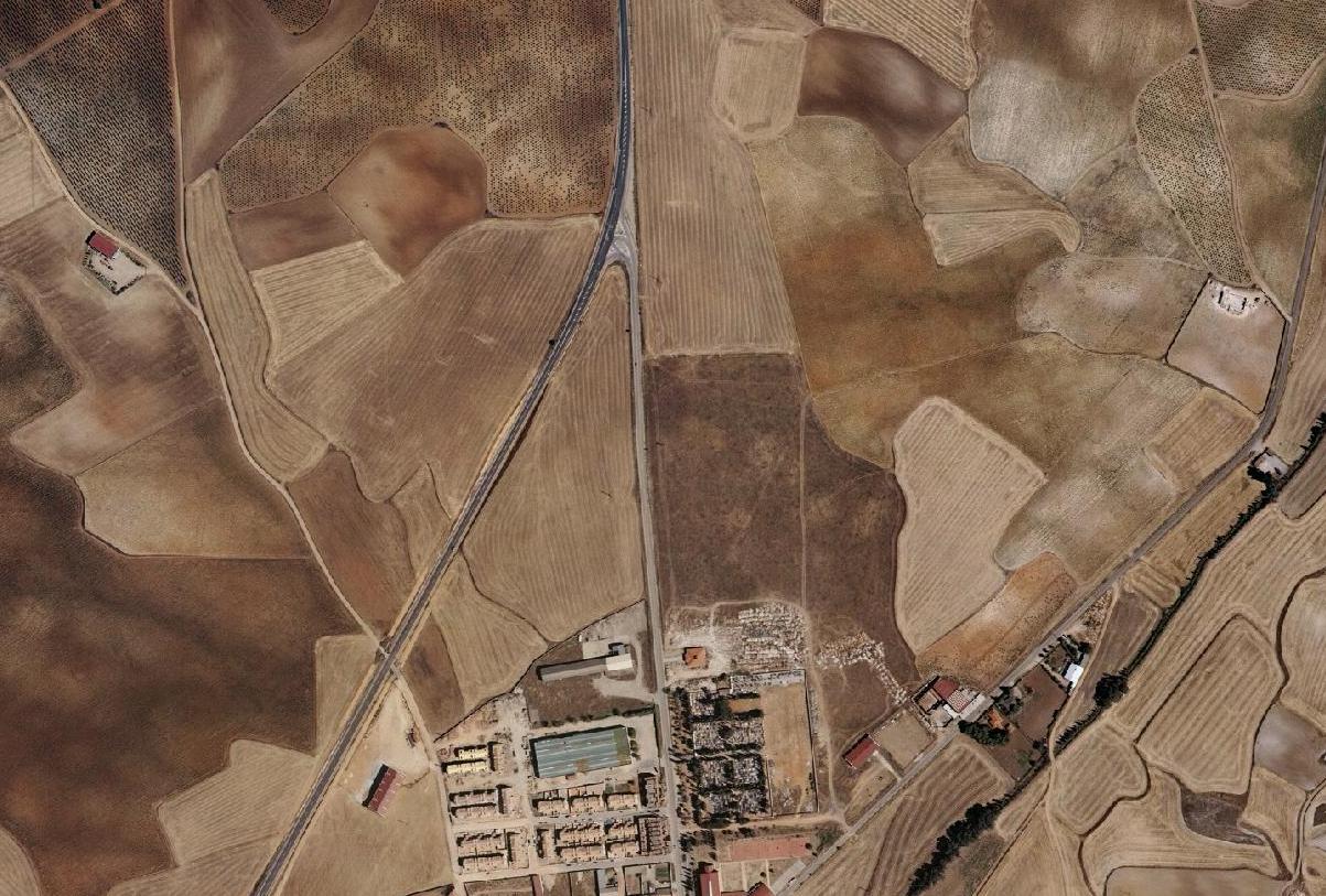
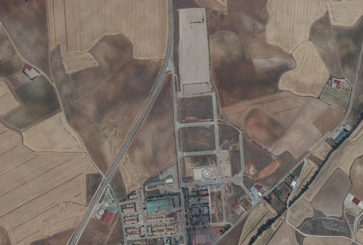
This comparative aerial documentation captures the evolution of the Sierra de Santiago area over a nine-year period. The sequential imagery reveals patterns of territorial modification and infrastructure development characteristic of this region during the documented timeframe.