This visual archive documents territorial transformation in El Toscal, an area within the municipality of Santa Cruz de Tenerife in the Canary Islands. The comparison presents aerial perspectives from two distinct time periods, revealing changes in land use and built environment development.
2000
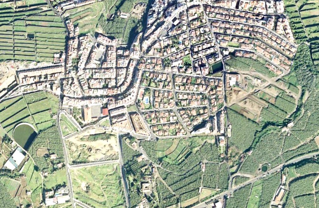
2017
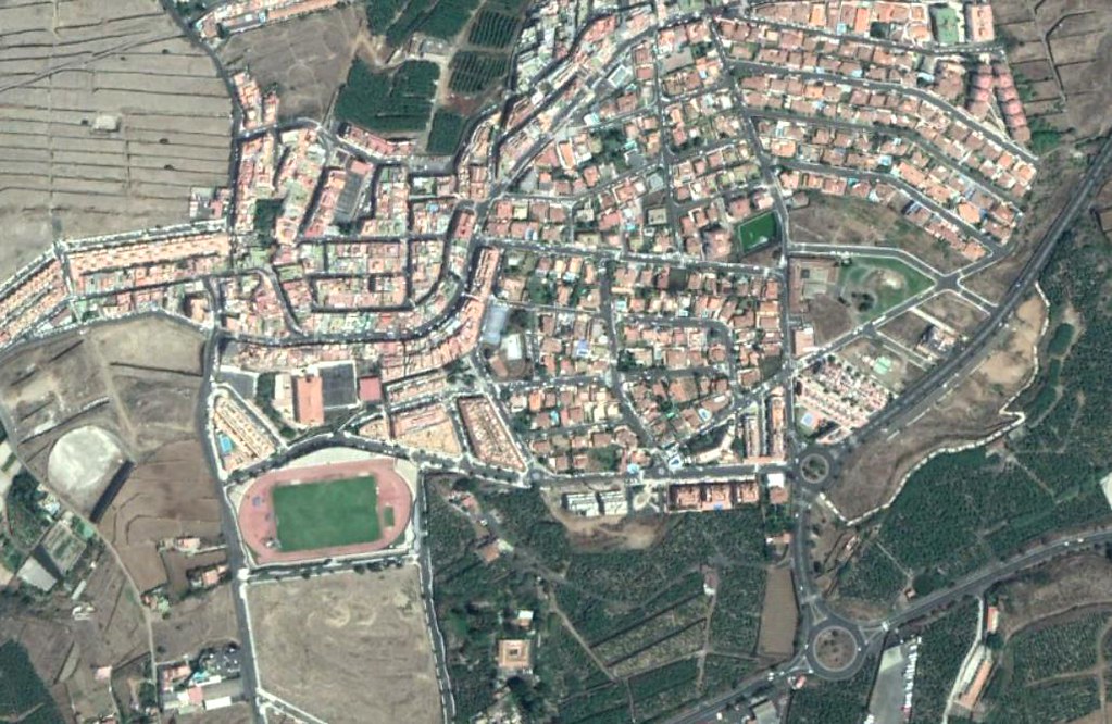
The imagery captures modifications to the landscape structure across a seventeen-year interval, showing evolution in infrastructure networks and settlement patterns. These aerial records serve as evidence of spatial reorganization within this section of Tenerife's urban periphery.