Visual documentation capturing the transformation of territory in Fuenlabrada, Madrid between 2001 and 2012. The aerial imagery reveals significant changes in land use patterns and urban development over this eleven-year period.
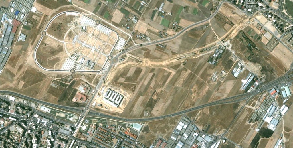
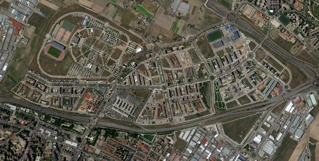
Visual documentation capturing the transformation of territory in Fuenlabrada, Madrid between 2001 and 2012. The aerial imagery reveals significant changes in land use patterns and urban development over this eleven-year period.