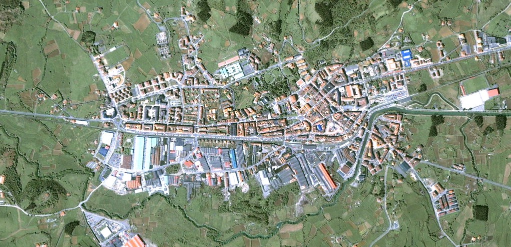
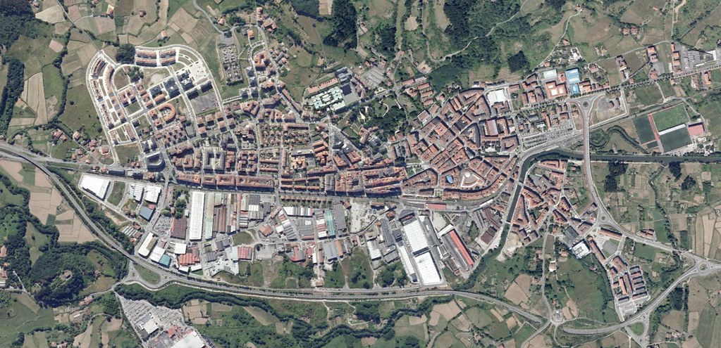
This comparative documentation captures the transformation of Gernika-Lumo's territorial landscape between 2001 and 2012. The imagery reveals patterns of urban expansion and infrastructure development that characterize this period of spatial change in the Basque territory.