This visual documentation captures the transformation of terrain in Fuerteventura, Las Palmas province, comparing landscape conditions between two distinct time periods. The imagery reveals how the land has evolved from its earlier state to accommodate new development infrastructure.
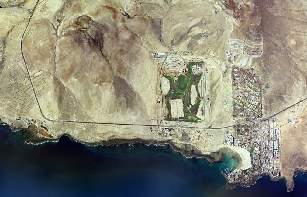
Landscape state documented in 2000
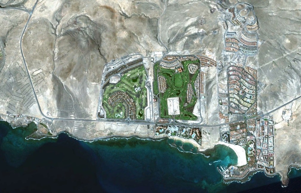
Landscape state documented in 2012
The comparative analysis shows notable modifications to the territory's configuration, including the introduction of circulation infrastructure and alterations to the natural topography. These aerial perspectives provide evidence of the area's urbanistic trajectory over the documented interval.