Visual documentation of territorial transformation in the coastal municipality of Hondarribia (Fuenterrabía), located in the province of Gipuzkoa. The comparative aerial imagery reveals the evolution of urban development patterns between 1991 and 2011, capturing two decades of landscape modification in this Basque coastal settlement.
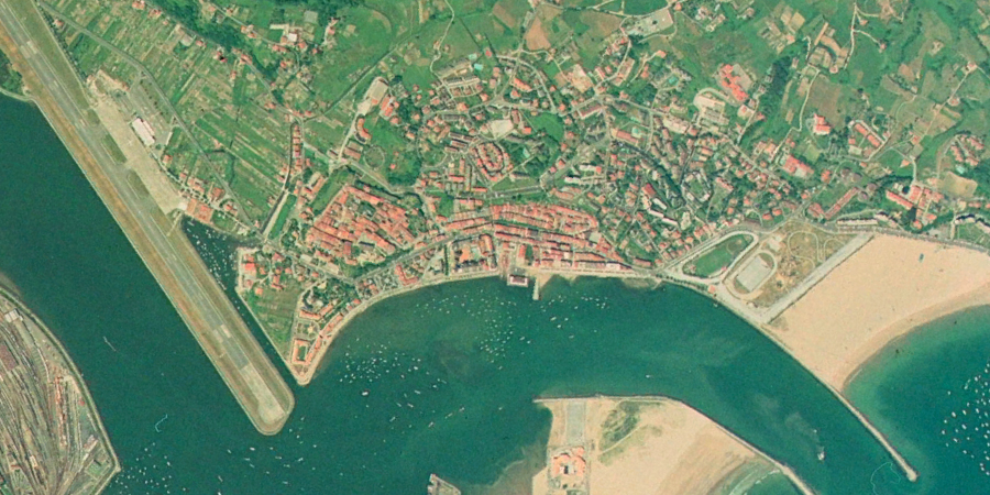
1991 - Initial configuration
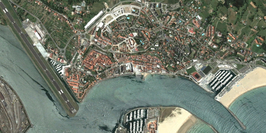
2011 - Documented transformation
The aerial photographs document the expansion of built environments and modifications to the territorial organization during this period. The imagery provides evidence of development activity characteristic of the region during the late 20th and early 21st centuries.