2002
2011
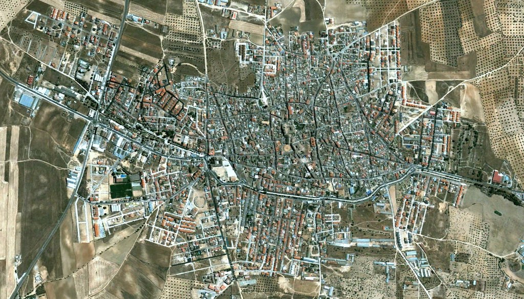
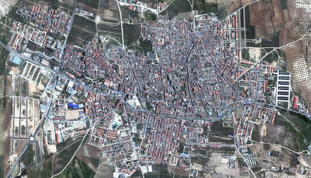
This comparative documentation captures the territorial transformation of La Puebla de Montalbán over a nine-year period. The imagery reveals significant changes in land use patterns and infrastructure development within this Toledo municipality.