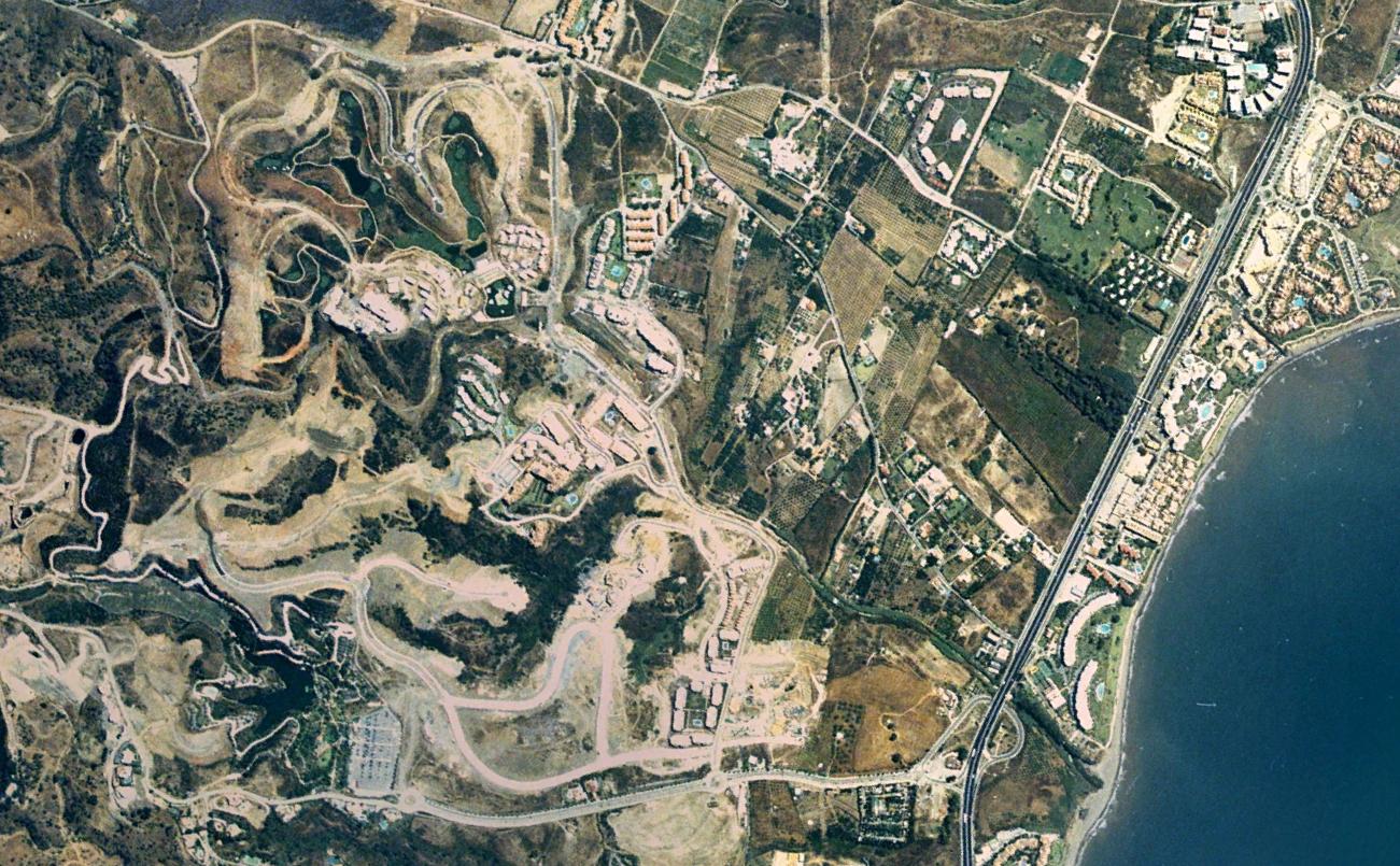
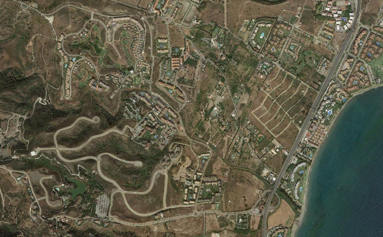
This visual comparison documents the transformation observed in La Resina, located within the municipality of Málaga on the Costa del Sol. The images capture the spatial configuration of this area during two distinct temporal moments: 2004 and 2016.
The documentation reveals the progression of territorial development patterns characteristic of coastal urbanization processes in southern Spain during the early twenty-first century. The landscape modifications evident in these comparative views represent a period of significant infrastructural and residential construction activity.
The visual evidence presented here forms part of a broader documentation effort examining land use transitions across the Spanish territory. These records serve as objective testimony to the physical changes that characterize recent decades of urban expansion.