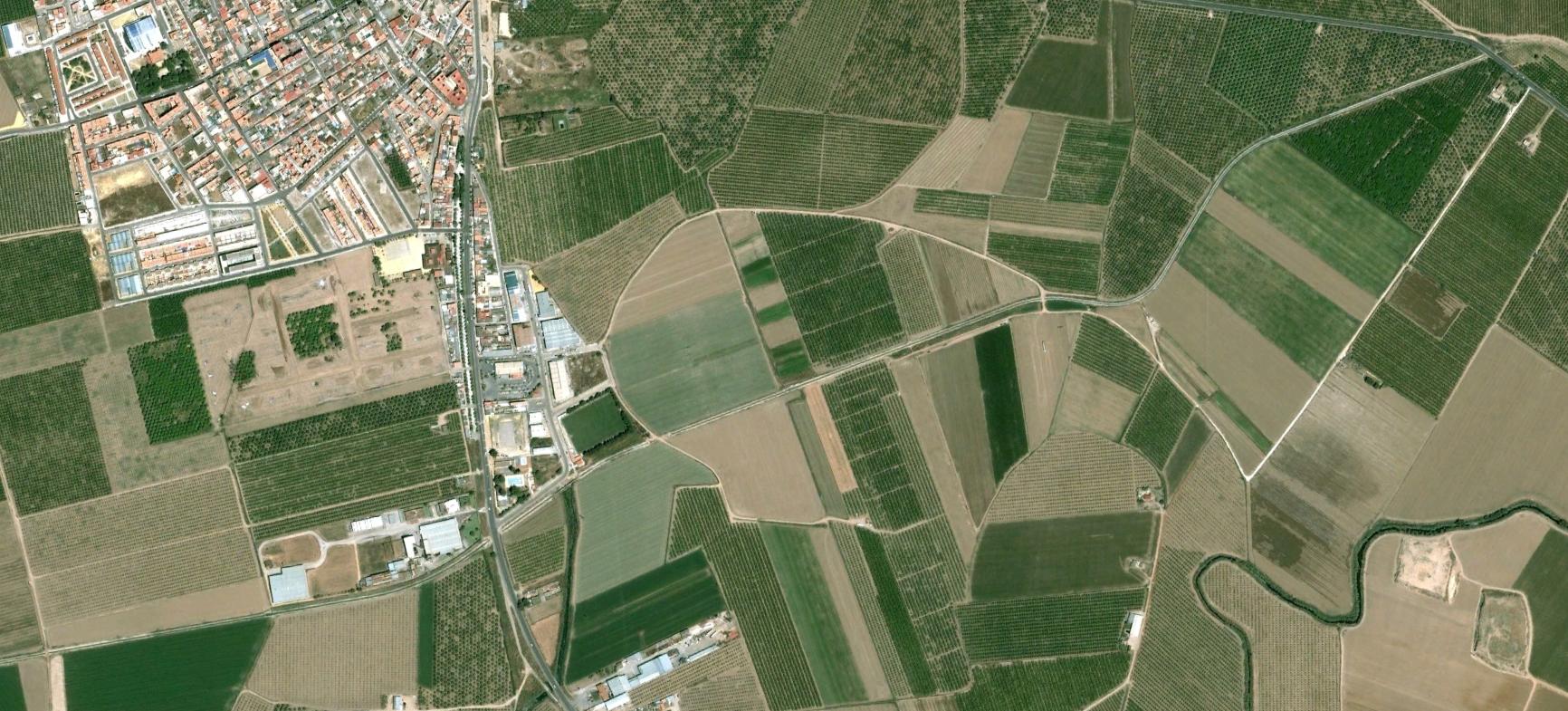
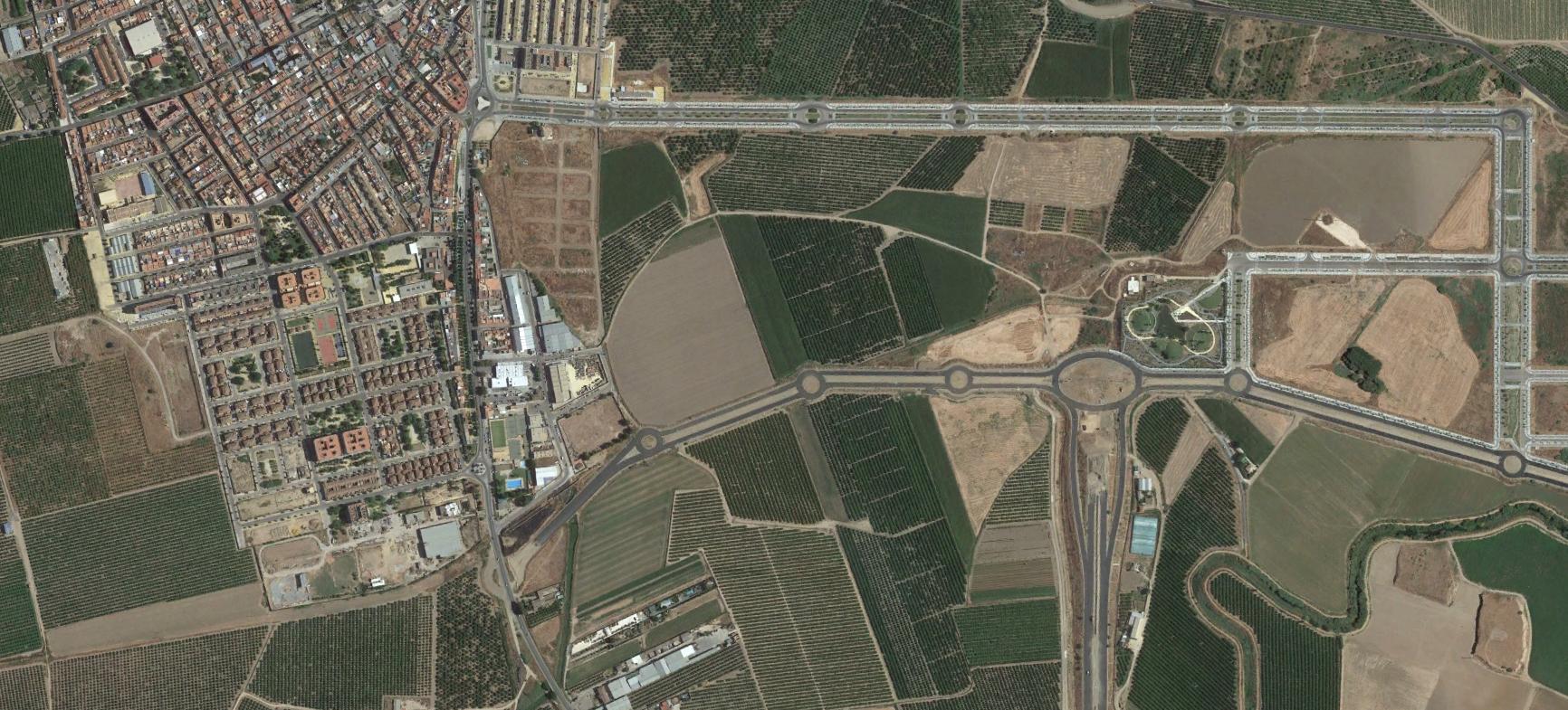
This comparative documentation captures the transformation of land use patterns in La Rinconada, Sevilla province, between 2002 and 2015. The imagery reveals the conversion of agricultural terrain into urban infrastructure, characterized by residential development and vehicular circulation systems including multiple traffic roundabouts.