21/7/15
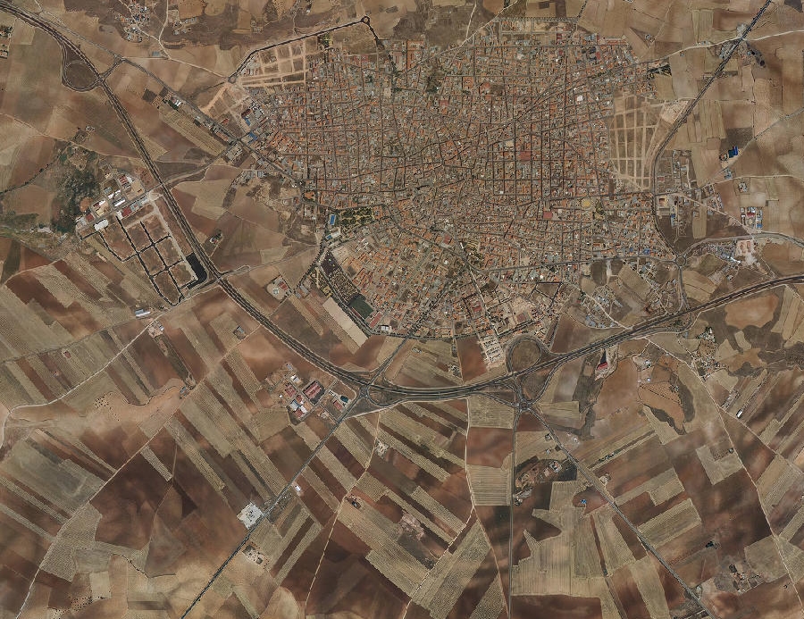
La Solana, Ciudad Real
2006
2012
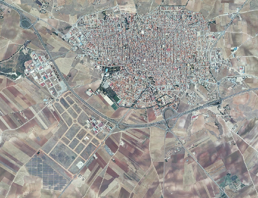
This visual documentation captures the transformation of El Secarral district in La Solana, Ciudad Real province, over a six-year period. The comparative imagery reveals substantial modifications to the territorial structure, with notable changes in land use patterns and the emergence of new circulation infrastructure.
The photographs demonstrate how formerly rural landscapes underwent comprehensive reconfiguration during the mid-2000s development cycle. The later image documents the installation of road networks and altered topography characteristic of this period's territorial planning approaches.