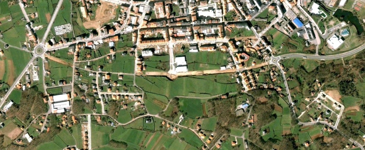
This aerial documentation captures territorial changes in Lalín over a five-year period, revealing patterns of development and land use transformation in this Galician municipality.
2007 - Initial State
2012 - Documented Changes
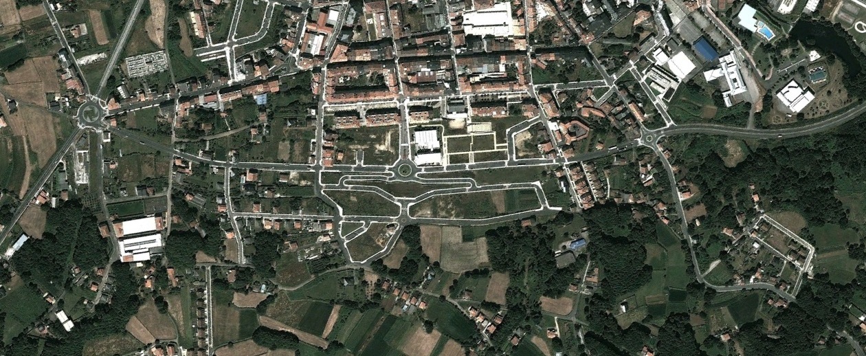
The comparative analysis between 2007 and 2012 aerial imagery reveals the extent of spatial reorganization and infrastructure development that occurred during this period in the region.