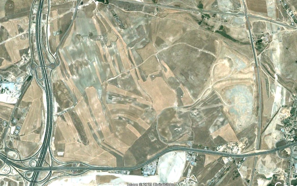
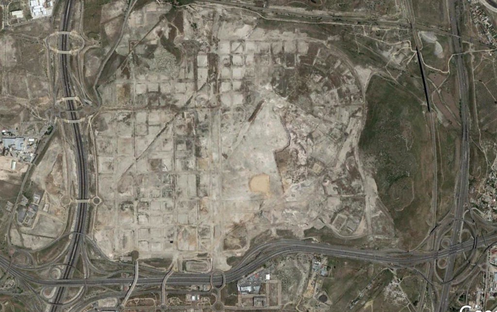
Visual comparison documenting landscape change over a fifteen-year period

2002
Los Berrocales area in 2002, showing undeveloped terrain before urban planning implementation
2017
Los Berrocales area in 2017, documenting infrastructure development and territorial reorganization

Continue to full documentation →