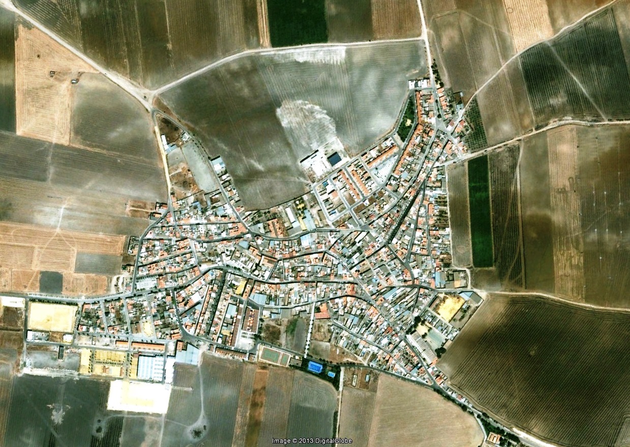
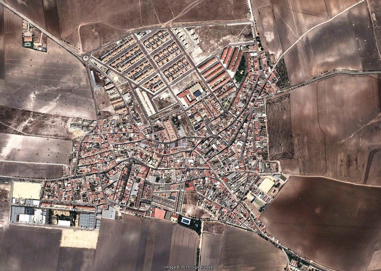
Aerial documentation captures the transformation of this municipality in Seville province between 2002 and 2013. The comparative imagery reveals significant changes in land use patterns and the expansion of built environments across the territory.
The visual record illustrates how agricultural zones have been progressively converted into residential and commercial developments. This territorial shift reflects broader patterns of urban expansion characteristic of the period.