This visual record presents the territorial evolution of the eastern sector of Getafe and the Los Molinos vicinity in the Madrid region. The comparative imagery illustrates the pattern of discontinuous urban expansion characteristic of the early 21st century development period.
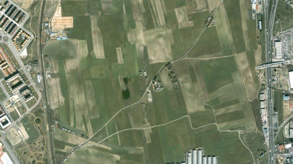
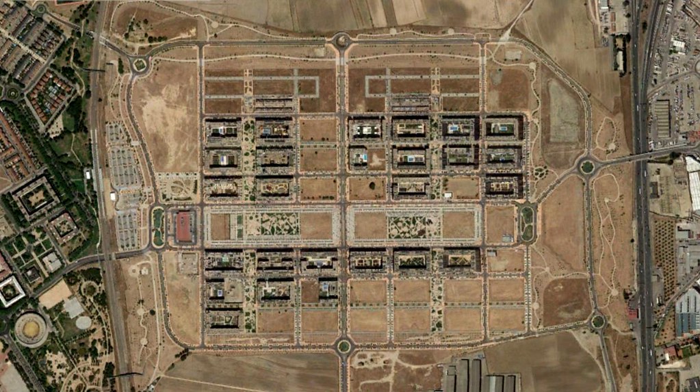
The imagery documents the shift from agricultural terrain to urbanized infrastructure, including residential developments and transportation corridors established during the construction boom period.