Comparative aerial documentation captures the landscape evolution of Los Villares, a municipality in Jaén province, across a seven-year interval. The imagery reveals patterns of development characteristic of Spain's construction boom period.
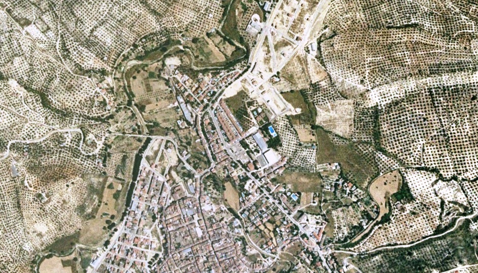
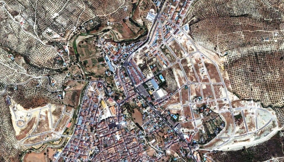
The sequential imagery documents modifications in the built environment between 2004 and 2011, providing visual evidence of territorial transformation processes during this period of Spanish urban expansion.