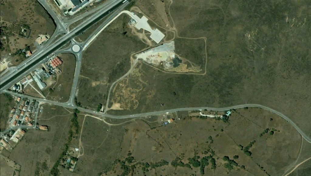
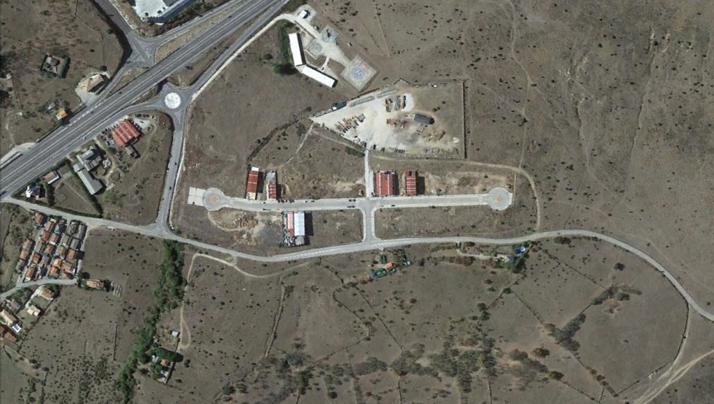
Visual comparison documenting landscape transformation in Lozoyuela, located in the Madrid region. The satellite imagery captures territorial changes over a twelve-year period, revealing patterns of development and infrastructure expansion in this area north of the capital.