May 22, 2017
Monzón, Huesca
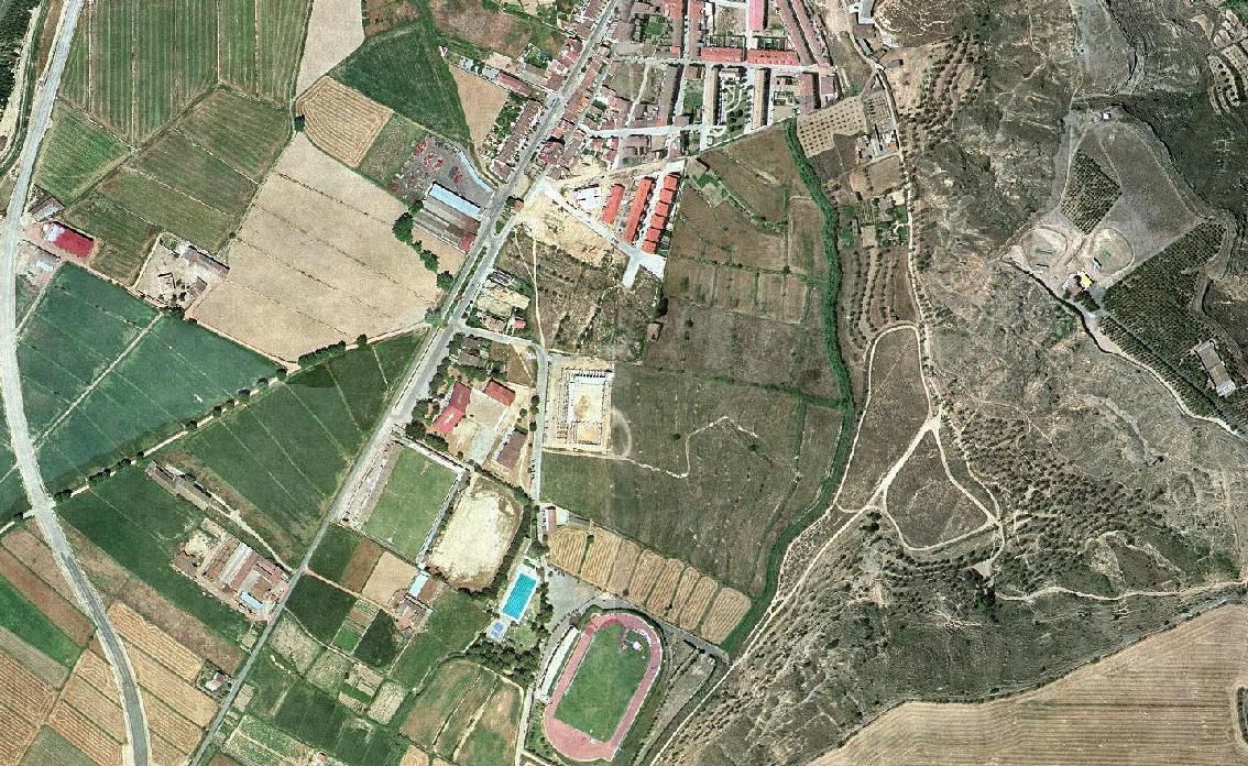
Aerial documentation captures the transformation of Monzón's territorial fabric across a fifteen-year period. This comparative visual record illustrates the evolution of land use patterns in this Aragonese municipality.
Year 2000
Year 2015
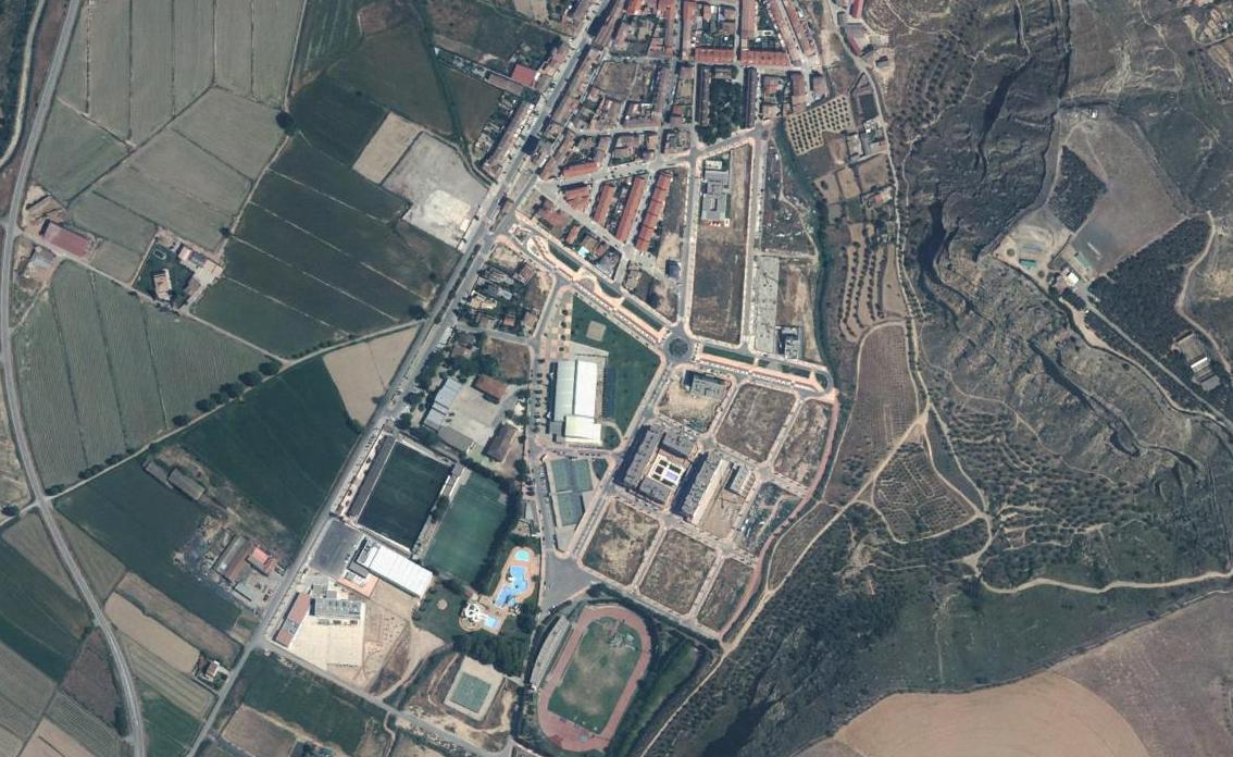
The imagery reveals changes in urban footprint, infrastructure development, and the relationship between built environment and surrounding agricultural territory. These visual records serve as documentation of how Spanish municipalities evolved during the early twenty-first century.