April 29, 2014
Muel, Zaragoza
This photographic comparison documents territorial changes in Muel, located in the province of Zaragoza. The images capture the transformation of the landscape between 2004 and 2011, illustrating patterns of development and infrastructure expansion characteristic of this period in Spanish urban planning.
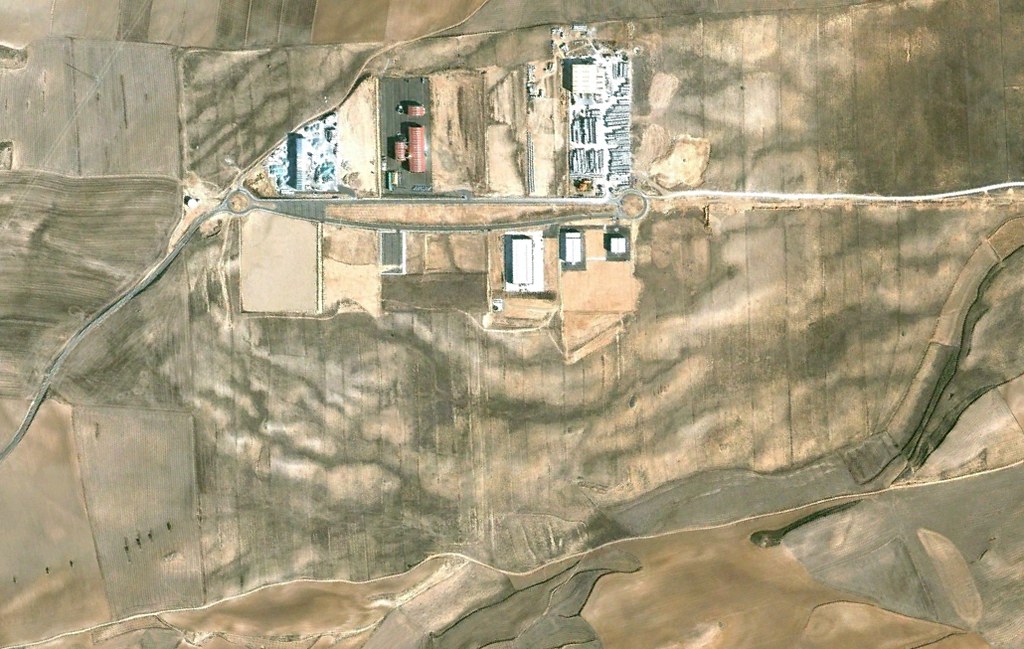
2004
2011
The visual record presents a seven-year interval during which significant modifications to the territorial structure occurred. The documentation methodology employs aerial imagery to establish a baseline for understanding development patterns.