This comparative visual study documents the territorial evolution of Nerja, a coastal municipality in Málaga province, spanning the period between 2007 and 2015. The aerial imagery reveals significant patterns of development along this section of the Costa del Sol.
2007
2015
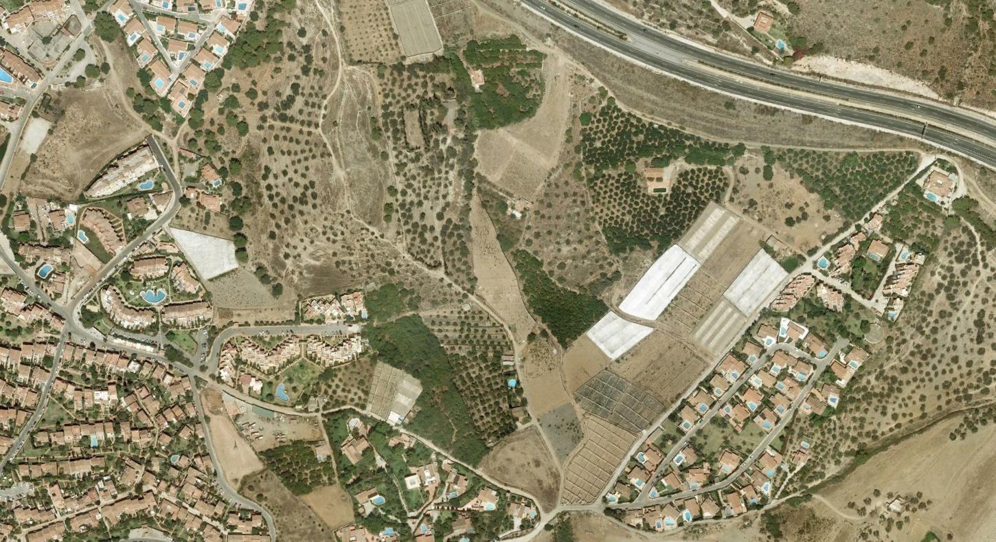
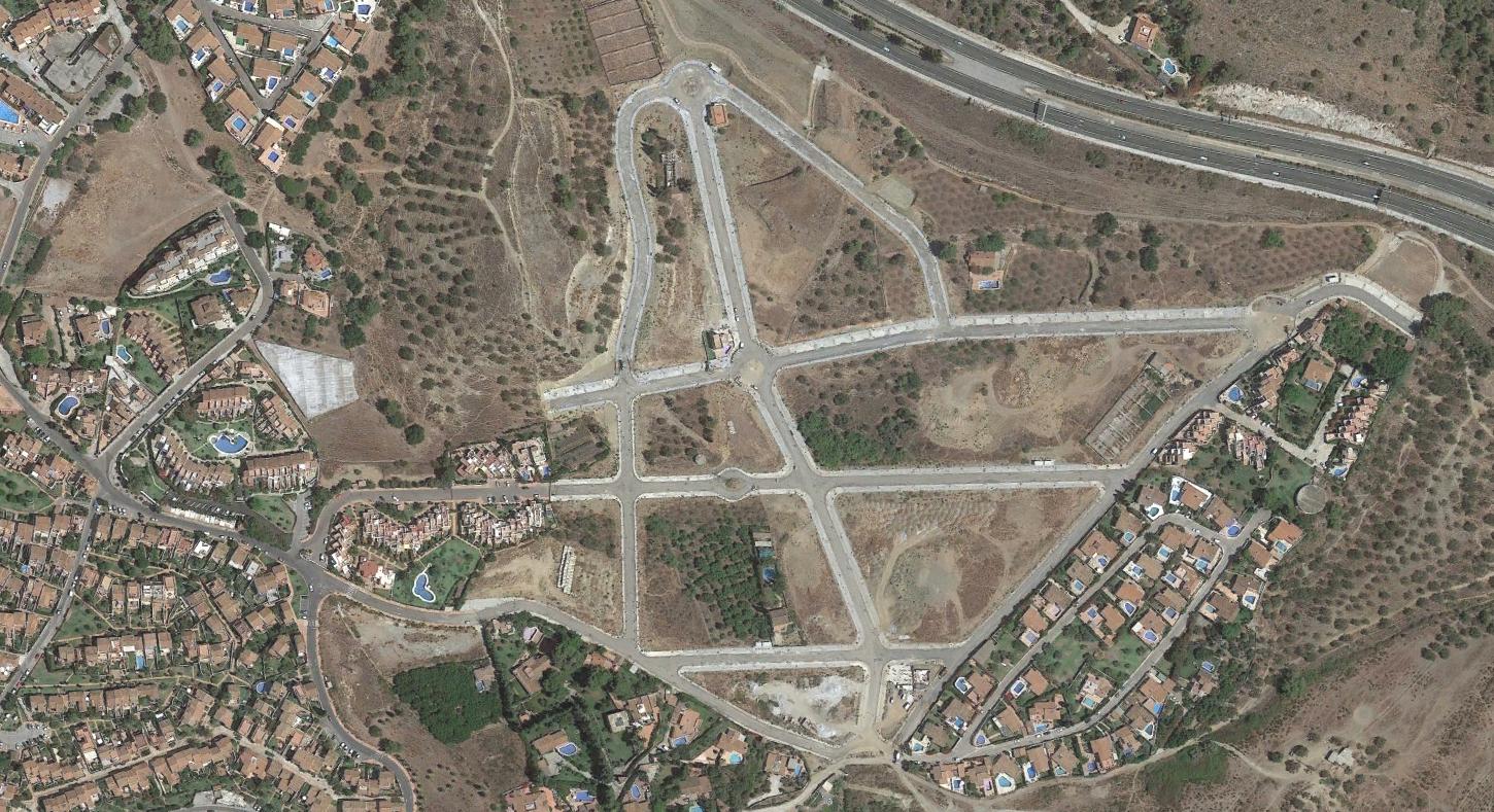
The imagery captures modifications to road infrastructure and settlement patterns characteristic of Mediterranean coastal zones during this timeframe. The documentation serves as a record of how this landscape has been reshaped over an eight-year interval.