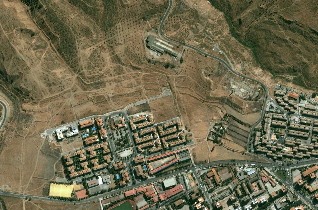
This visual record documents the landscape evolution of Nueva Granada in Granada province over a twelve-year period. The comparative imagery captures the transformation of agricultural terrain into developed zones.
2004
2016
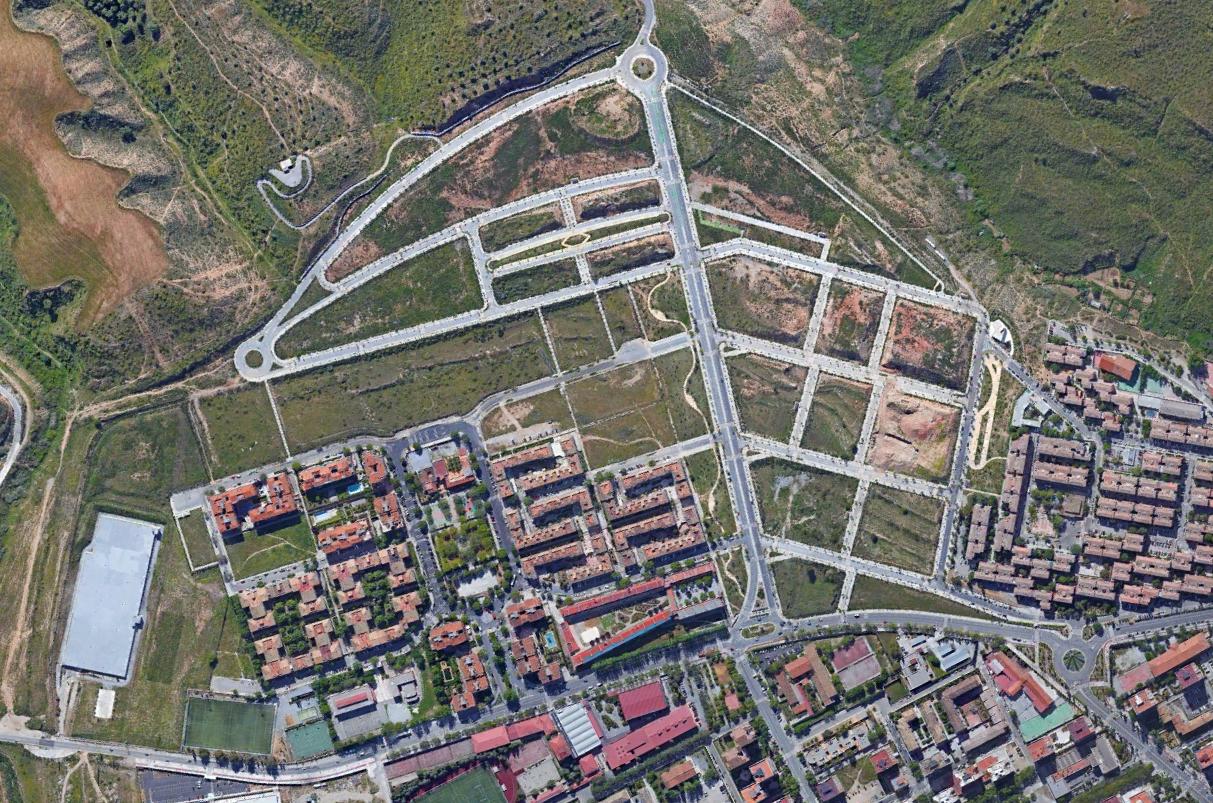
The sequence reveals significant alterations to the territorial fabric between these two observation points, illustrating patterns of suburban expansion and infrastructure modification typical of this period in Andalusian development.