Visual documentation captures territorial modifications in the Paniceres area of Oviedo between 2000 and 2012. The comparative imagery reveals significant changes in land use patterns and urban development over this twelve-year period in the Asturian capital.
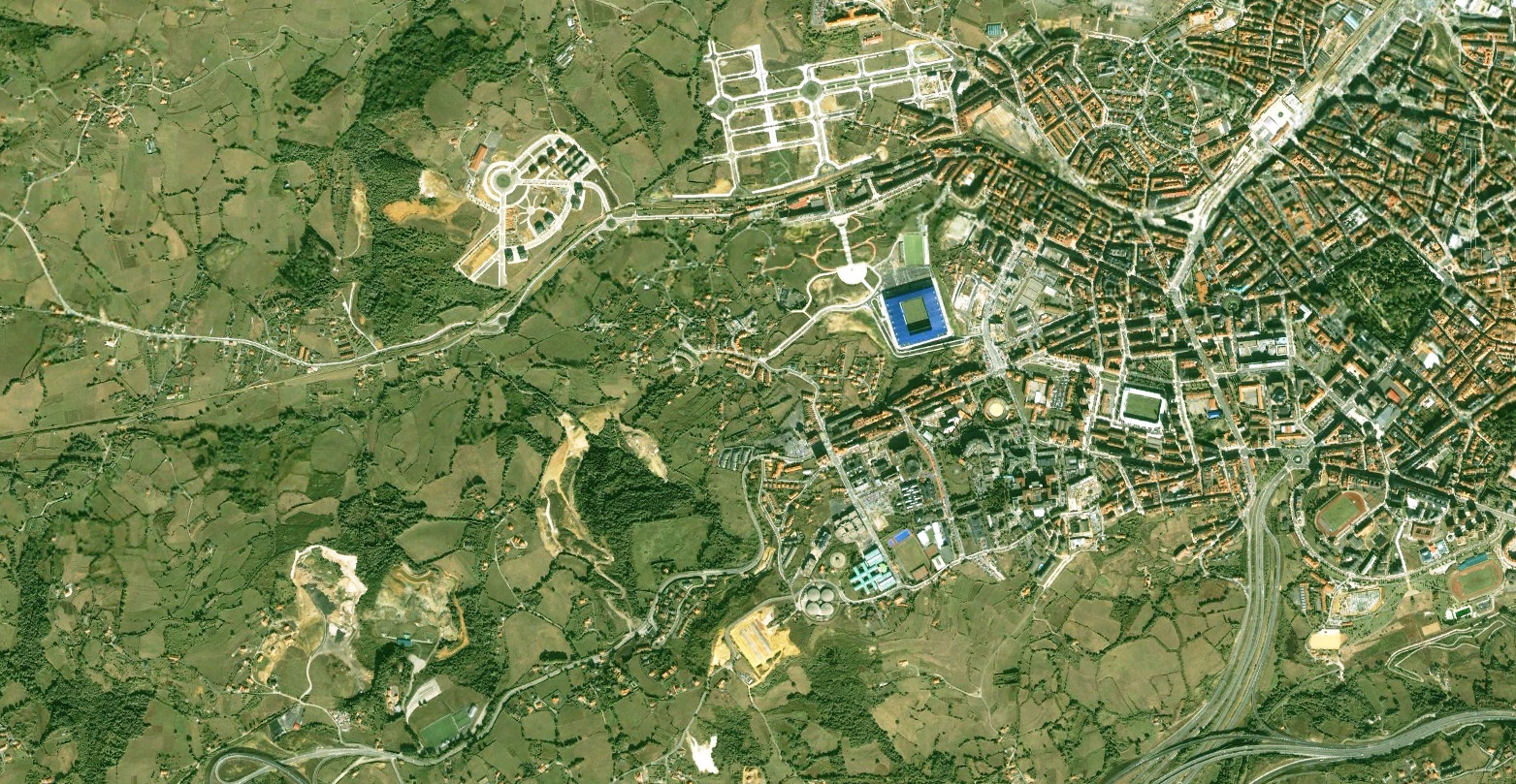
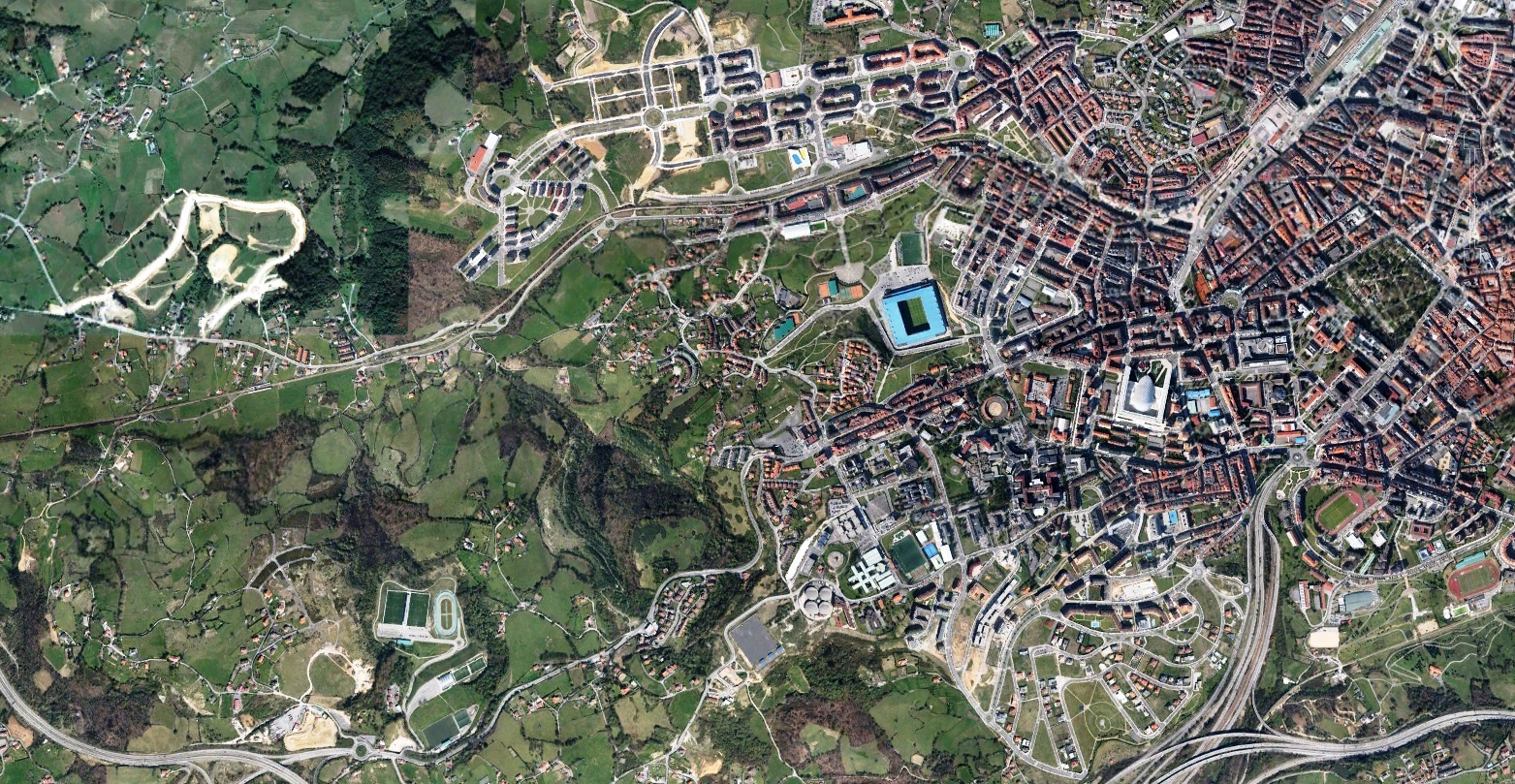
The interactive comparison allows examination of landscape transformation across the documented timeframe. Aerial photography sources provide objective documentation of changing territorial patterns.