Visual documentation of landscape transformation patterns in the Picassent area, Valencia province. The comparative imagery reveals significant changes in land use and territorial development over a twelve-year observation period.
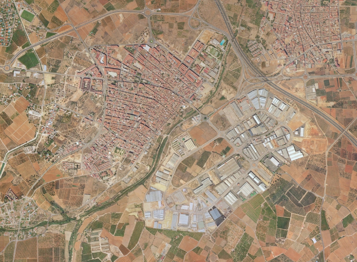
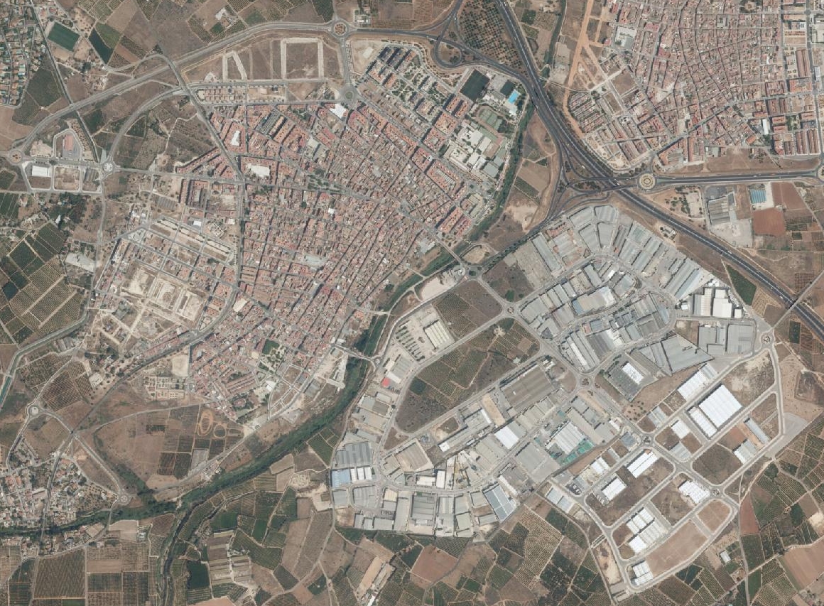
The photographic record documents the evolution of infrastructure and built environment across the municipal territory. These aerial perspectives provide evidence of shifting land use patterns characteristic of the documented period.