This comparative view documents the transformation of an industrial zone in Camponaraya, located in the province of León. The satellite imagery captures the development trajectory across a ten-year interval, revealing the spatial footprint of economic infrastructure expansion in this northwestern Spanish locality.
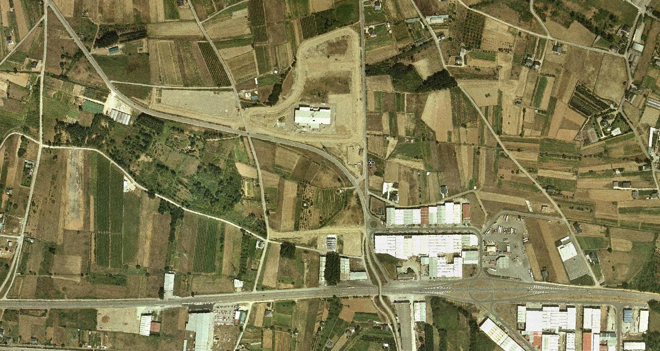
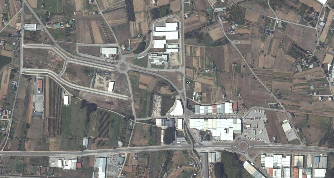
The imagery sequence illustrates the conversion of agricultural or vacant land into structured industrial facilities, accompanied by the construction of access roadways and circular traffic infrastructure characteristic of contemporary Spanish development patterns.