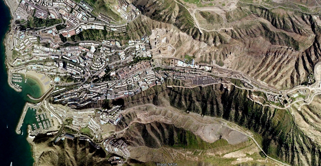
This visual record documents the landscape evolution of Puerto Rico de Gran Canaria between 2000 and 2017, revealing patterns of coastal development and infrastructure expansion in this Gran Canaria municipality within Las Palmas province.
The following aerial imagery sequence illustrates territorial changes over a seventeen-year period:
2000
2017
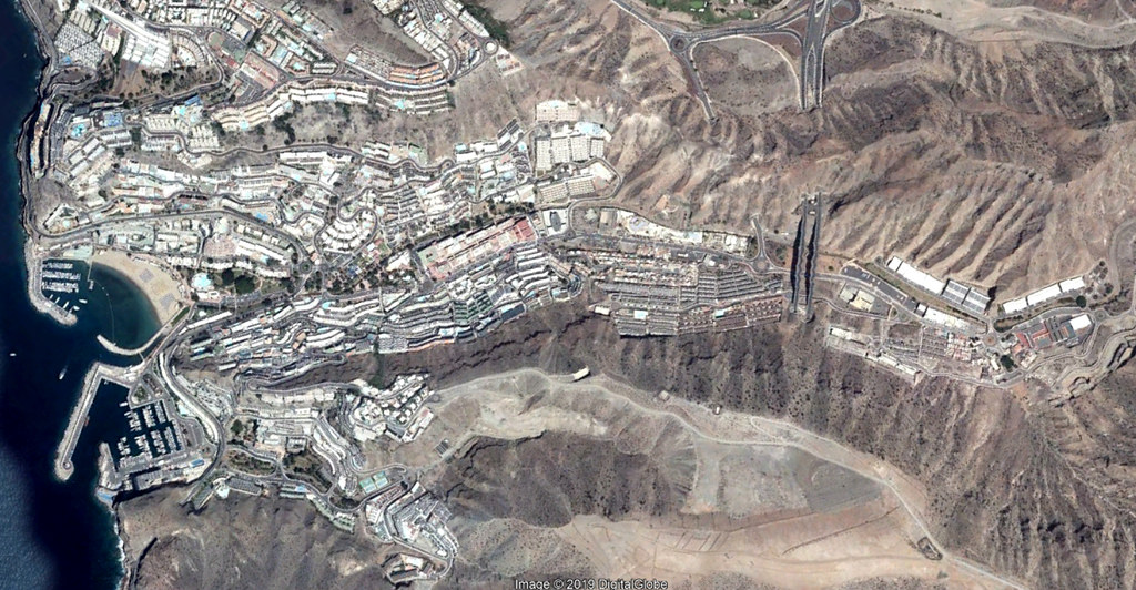
The photographic evidence reveals modifications to the coastal landscape, including road network development and built environment expansion characteristic of this period of territorial transformation.