Comparative aerial documentation reveals significant territorial changes in this northern Tenerife coastal zone between 2000 and 2013. The imagery captures the evolution of infrastructure development patterns and land use modifications in the Puerto de la Cruz area.
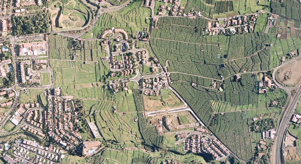
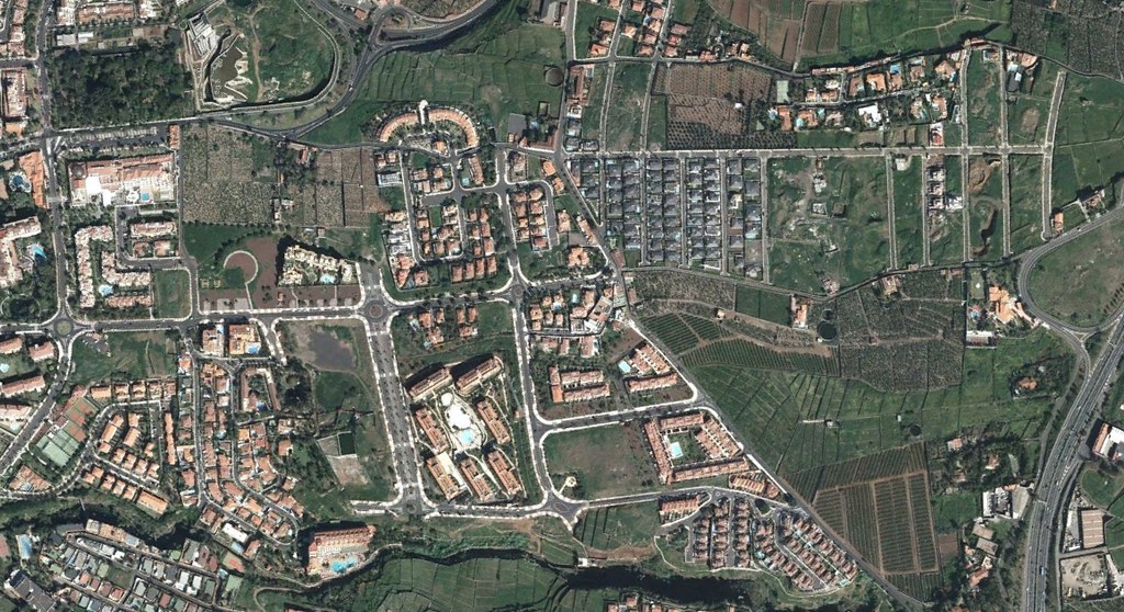
The comparative sequence documents the emergence of new roadway infrastructure and roundabout circulation systems characteristic of this period's development approach in coastal tourism areas.