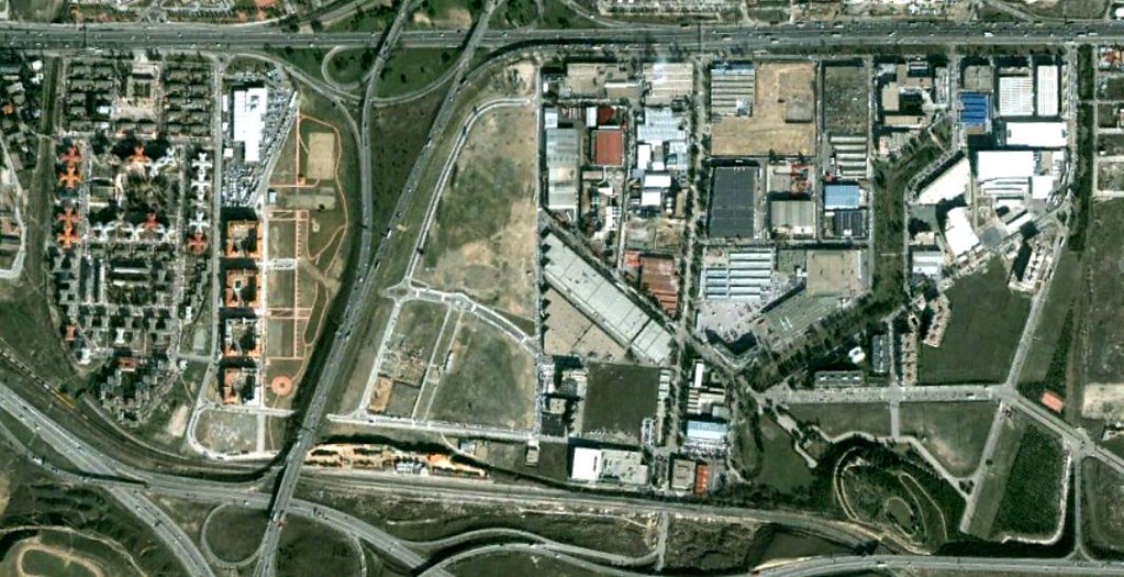
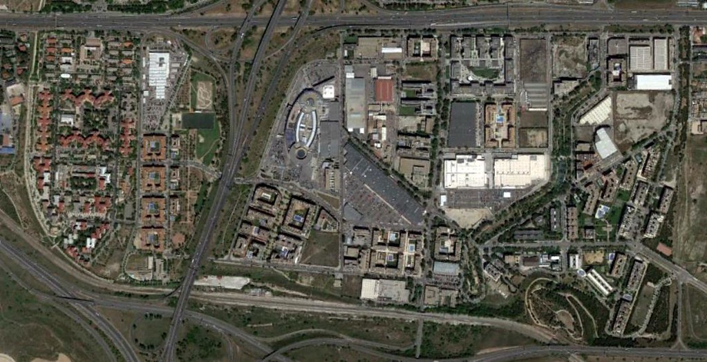
This visual documentation captures the significant landscape transformation in Rejas, Madrid, between 2002 and 2017. The comparative imagery reveals substantial changes in land use patterns and urban expansion during this fifteen-year period, illustrating the dramatic shift from open terrain to developed infrastructure.