Visual documentation comparing the territorial transformation of western Sabadell between 2002 and 2012. The imagery reveals significant changes in land use patterns, with notable expansion of urbanized areas and infrastructure development along major transportation corridors.
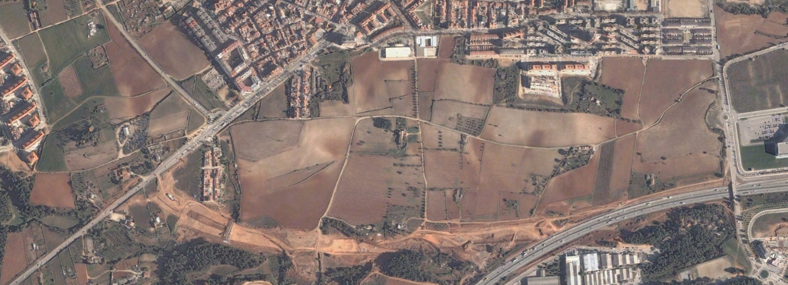
The documented timeframe captures a period of substantial landscape modification, characterized by the conversion of previously undeveloped terrain into residential and commercial zones. Transportation networks exhibit notable expansion, with new roundabouts and roadway systems establishing connectivity between developed sectors.