Sabiñánigo, Huesca
This visual record captures the transformation of Sabiñánigo's urban periphery over a nine-year period. The documentation reveals changes in road infrastructure and peripheral development patterns characteristic of Spanish municipalities during the early 21st century.
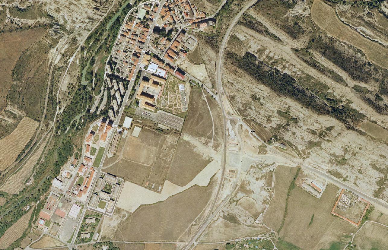
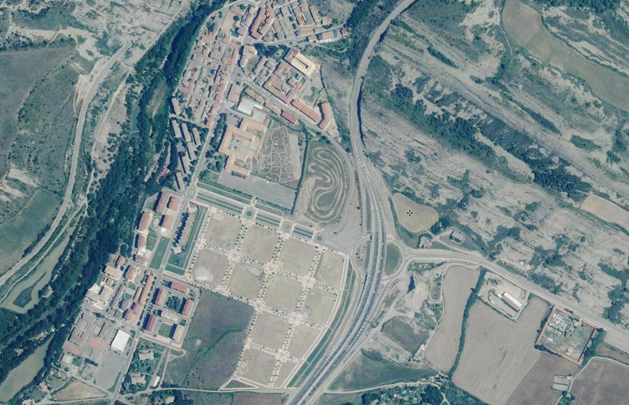
The comparative imagery documents the construction of new road systems and modifications to the territorial layout. These visual records serve as evidence of landscape transformation processes that occurred during this period in the Huesca region.